Tom Dick and Harry Mountain Trail: Beyond Mirror Lake to the Ridge
Mirror Lake is the approach; the ridge is the bigger commitment. Treat the rough upper trail and the steep final 200 yards as a separate decision rather than an automatic extension.
Research-based editorial guide · Official access status checked August 24, 2026 · No claim of a personal hike or firsthand test
OPEN SUBJECT TO CURRENT MOUNT HOOD STATUS — Check fire restrictions, smoke, snow, road and trail conditions. The active Grasshopper Fire closure is elsewhere, but conditions can change.
Start with the distance
The Forest Service provides component distances rather than one polished round-trip total: 1.9 miles to Mirror Lake, then about 1.8 miles from the lake’s southwest corner to the ridge. An out-and-back works out to roughly 7.4 miles before any variation around the lake; a route using more of the loop may approach 7.8 miles. Label the total as an editorial calculation, not an official measurement.
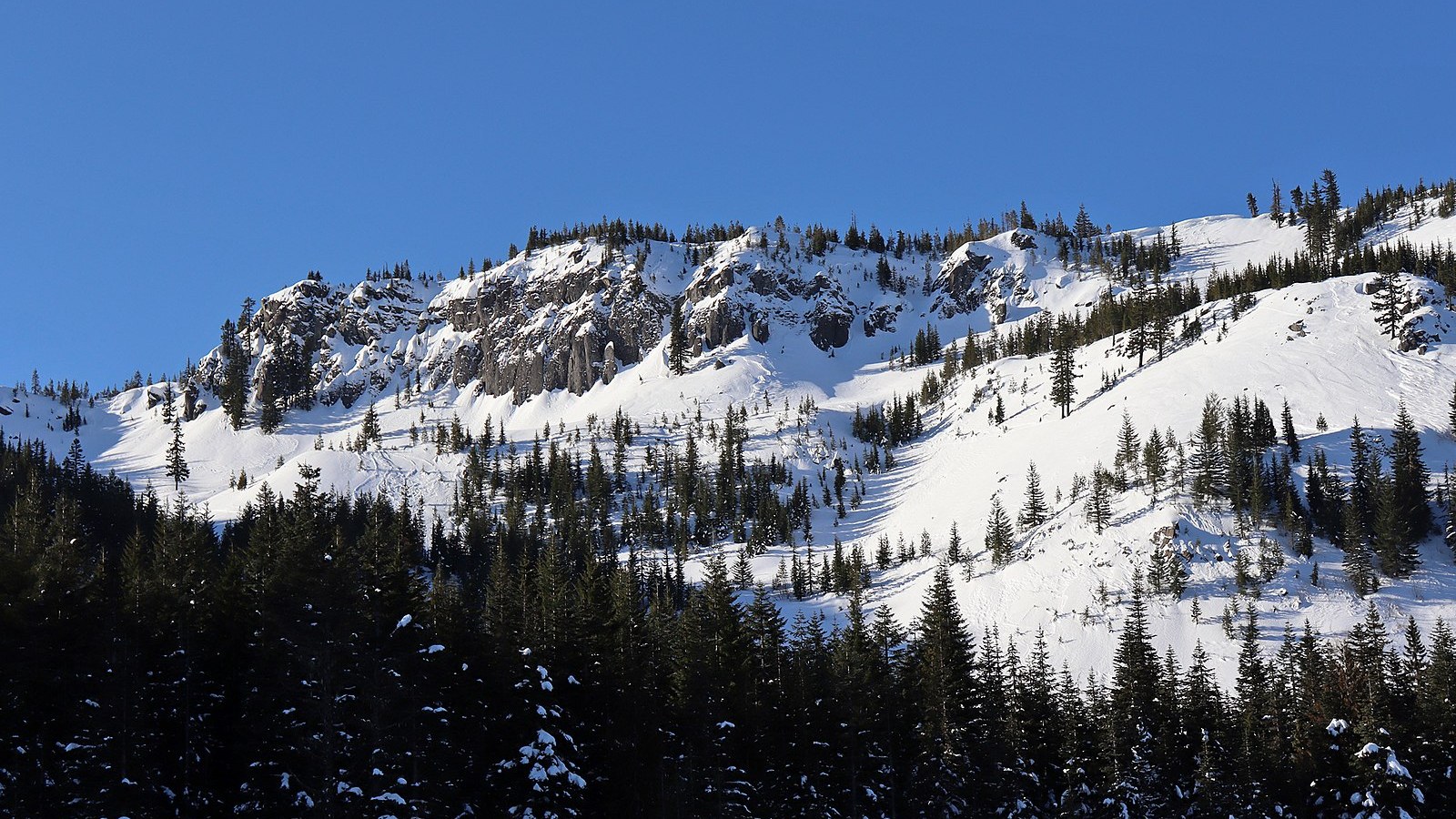
The ridge is a separate commitment beyond Mirror Lake. Photo: Jeff Hollett · Public domain · cropped and resized
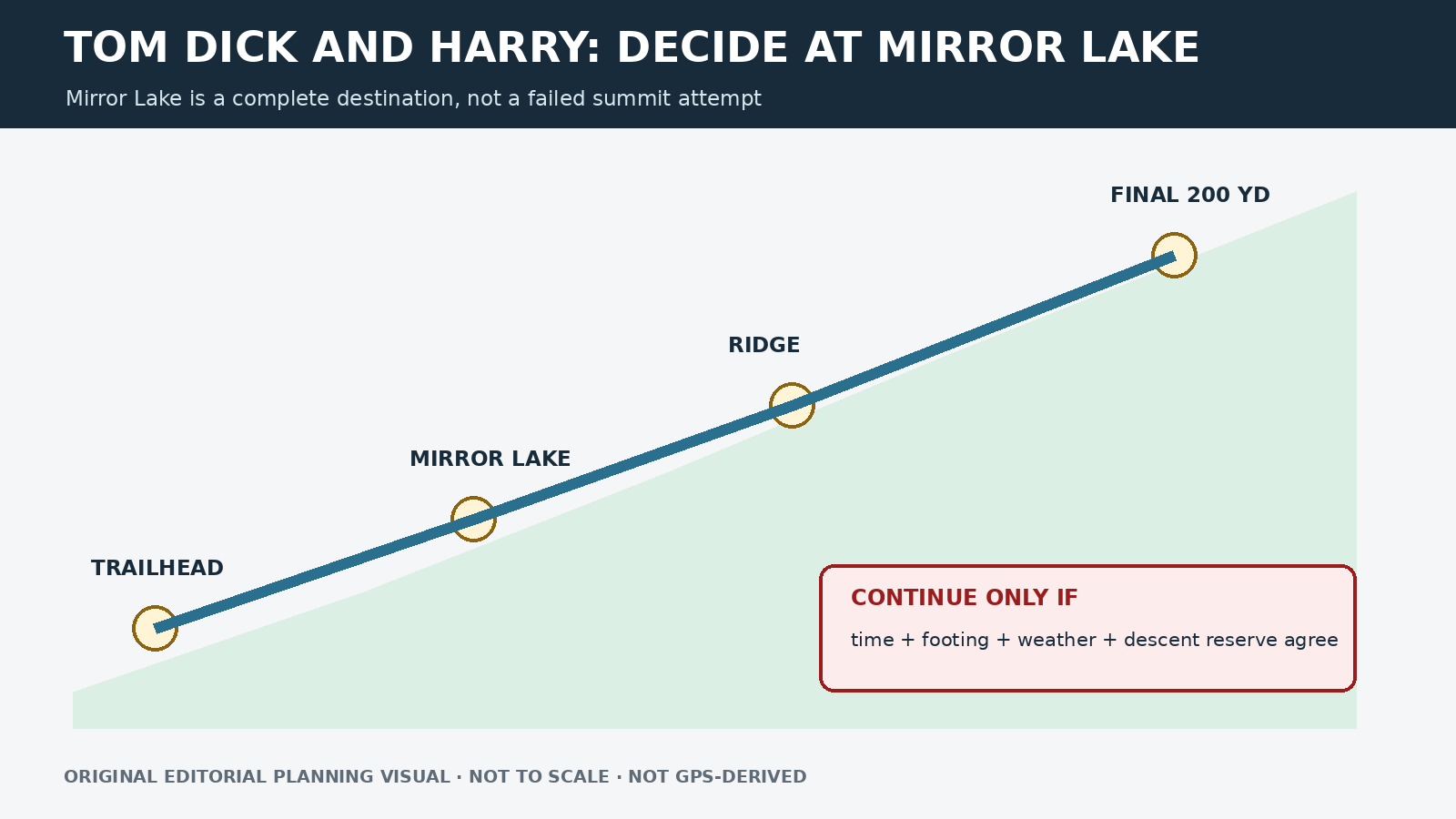
Original editorial planning graphic · not to scale · not GPS-derived
Built-in fallback: Mirror Lake is a complete destination. Turning around at the lake is a valid hike, not a failed attempt at the ridge.
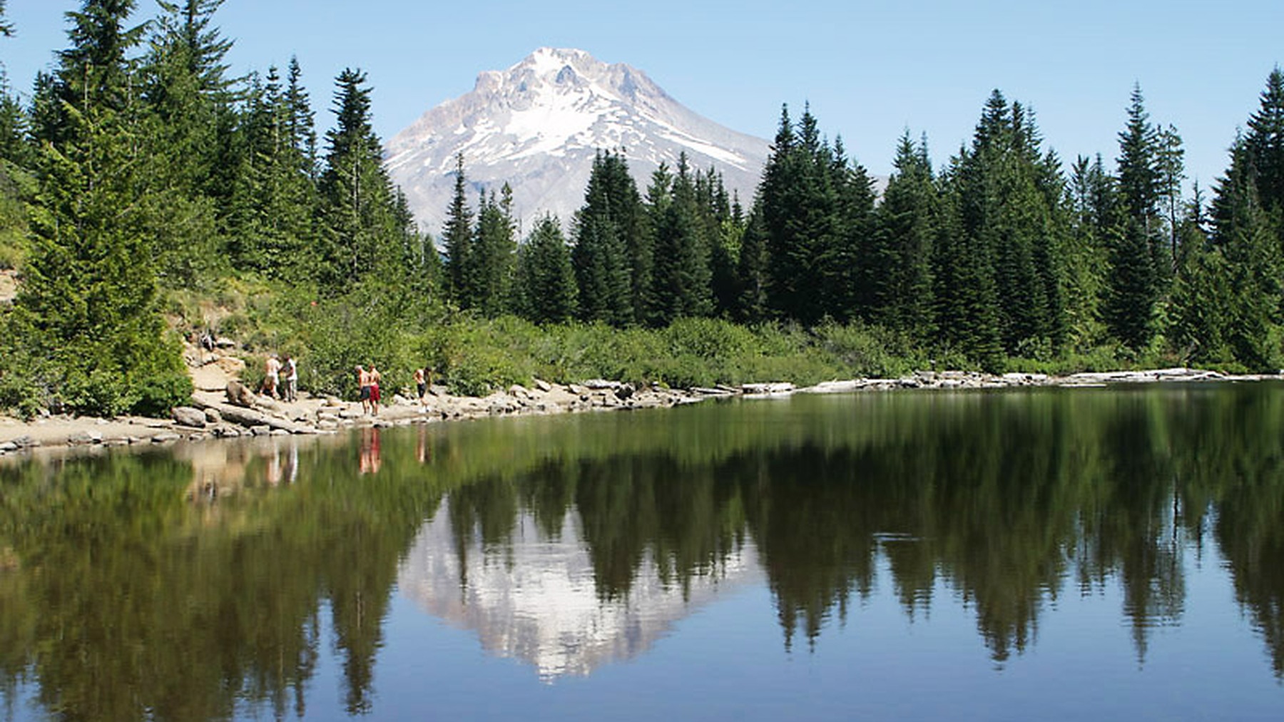
Mirror Lake reflecting Mount Hood marks the lower scenic objective before the steeper ridge extension. Photo: Kkmd at English Wikipedia · CC BY-SA 3.0 · cropped and resized
Three decision points on the route
The first 1.9 miles gain about 460 feet and lead to Mirror Lake, a complete destination with its own route guide. Pause there to check time, water, weather and the group’s energy. A planned ridge hike can become a lake hike without feeling like a failure.
From the southwest corner of Mirror Lake, the trail continues for about 1.8 miles. It becomes rougher and narrower as it enters the Salmon-Huckleberry Wilderness, so navigation and footing require more attention than on the developed lake approach.
The Forest Service describes the final 200 yards as very steep and rocky. Treat the base of that section as another decision point. Turn around if anyone is already unsteady, daylight is fading, wind is rising or the descent looks beyond the group’s comfort level. A summit view is not worth losing control on the way down.
Distances, parking seasons and route conditions
|
Field |
Current planning note |
|---|---|
|
Official approach |
1.9 miles to Mirror Lake with about 460 feet of gain |
|
Ridge continuation |
About 1.8 miles from the lake’s southwest corner |
|
Final section |
Last 200 yards very steep and rocky |
|
Estimated full trip |
Roughly 7.4–7.8 miles round trip, depending on lake loop and endpoint; editorial calculation |
|
Summer parking |
$5, May 1–October 31 |
|
Winter parking |
Oregon Sno-Park permit, November 1–April 30 |
Parking rules and winter navigation change together
From May 1 through October 31, the trailhead charges a $5 summer parking fee. From November 1 through April 30, an Oregon Sno-Park permit applies. Winter also changes the route itself: the Forest Service notes that the trail is not marked with blue diamonds, so snow can erase the landmarks used for summer navigation.
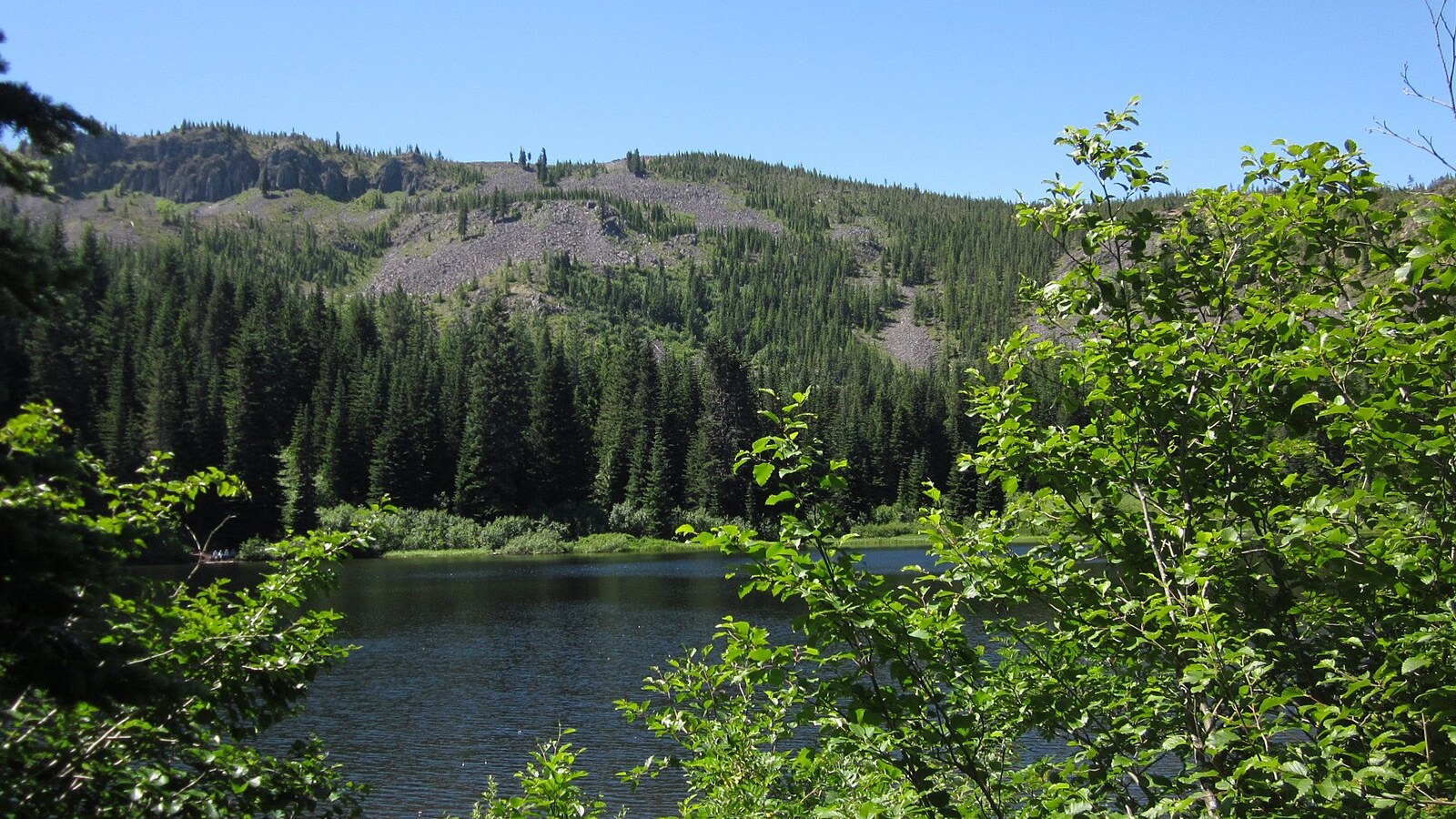
The rough upper route should be treated as an extension decision. Photo: Jessica Sheridan · CC BY 2.0 · cropped and resized
When to stop at Mirror Lake
This route combines sustained mileage, a rough upper trail, steep rock and fast-changing Mount Hood weather. Smoke, extreme fire danger, heat, ice or snow can outweigh an otherwise manageable mileage estimate. Carry water because the official page notes that none is available. The ridge should not be treated as a routine add-on for every Mirror Lake visitor.
Set turnaround times for a ridge day
Set three goals before leaving: Mirror Lake, the ridge approach and the final rocky section. Give each one a latest arrival time. Because the return retraces much of the route, a late arrival at the ridge should shorten the trip even if daylight remains. Check energy and footing at the lake, the last obvious place to choose a lower-commitment outing without giving up the main scenic destination.
In dry weather, carry enough water for the full estimated distance and expect sun and wind on the ridge. In snow, a downloaded summer track is not enough when there are no blue-diamond winter markers. If visibility drops or the route disappears, turn around before confidence is lost. The final 200 yards are optional; reaching their base already makes for a substantial Mount Hood day.
Alternatives and current conditions
Mirror Lake is the natural turnaround. Trillium Lake is a lower-commitment alternative with distinct summer and winter routes. Before leaving, recheck the Mirror Lake page, Mount Hood alerts, parking season and snow conditions.
Sources and last checked
Official agency pages are the authority for closures, access, fees and rules. Supplemental organizations are used only for clearly labeled planning estimates. This guide is based on published sources and does not claim a firsthand hike. Recheck all time-sensitive details on the publication date and again before travel.
Last checked: August 24, 2026. Review the page whenever an alert, fire restriction, road or gate status, fee, permit, seasonal rule, trail repair or official map changes.
Photo and graphic credits
Tom Dick and Harry Mountain in OR (49575129477).jpg — Jeff Hollett from Vancouver, WA, USA, Public domain. · Mirror Lake reflecting Mount Hood April 2000.jpg — Kkmd at English Wikipedia, CC BY-SA 3.0. · Tom Dick and Harry (6040456718).jpg — Jessica Sheridan from NYC, USA, CC BY 2.0.
Functional visual: original editorial graphic created for this article; not a trail map, GPS track or measured elevation profile.