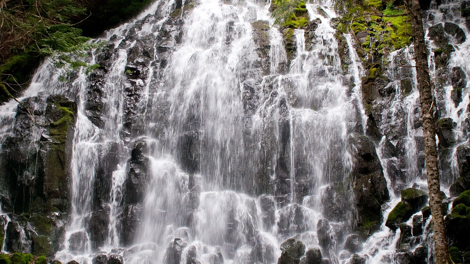
Ramona Falls Trail: Plan Around the Sandy River Crossing
The waterfall is not the hardest part of the plan. The unbridged Sandy River crossing can—and sometimes should—end the hike.
Research-based editorial guide · Official access status checked August 24, 2026 · No claim of a personal hike or firsthand test
HIGH-CONSEQUENCE ACCESS — No bridge crosses the Sandy River and none will be installed. Turn around whenever a safe crossing is not obvious. Recheck road, fire and trail status.
Non-negotiable rule: Turn around whenever a safe Sandy River crossing is not obvious. There is no bridge, and this guide should never present an improvised workaround as normal access.
The river crossing can end the hike
The Forest Service states that there is no bridge across the Sandy River and that none will be installed. The plan must therefore remain conditional: reach the river, assess it and turn around if a safe crossing is not immediately clear. Do not describe the crossing as a guaranteed log walk or a rite of passage.
River flow, channel shape and available logs all change. A crossing shown in a recent user photo may no longer exist. A route that seems passable on the way out can also become unsafe after rain, warm-weather snowmelt or new debris. Assess the return crossing as a separate decision.
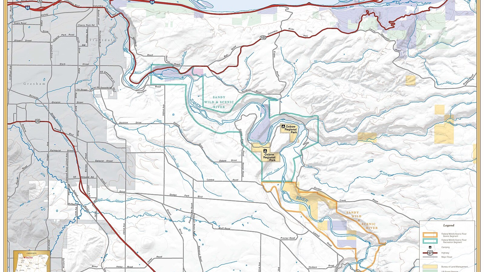
This river-corridor overview is geographic context, not a Ramona Falls trail map or crossing-navigation aid. Photo: Bureau of Land Management Oregon and Washington · CC BY 2.0 · cropped and resized
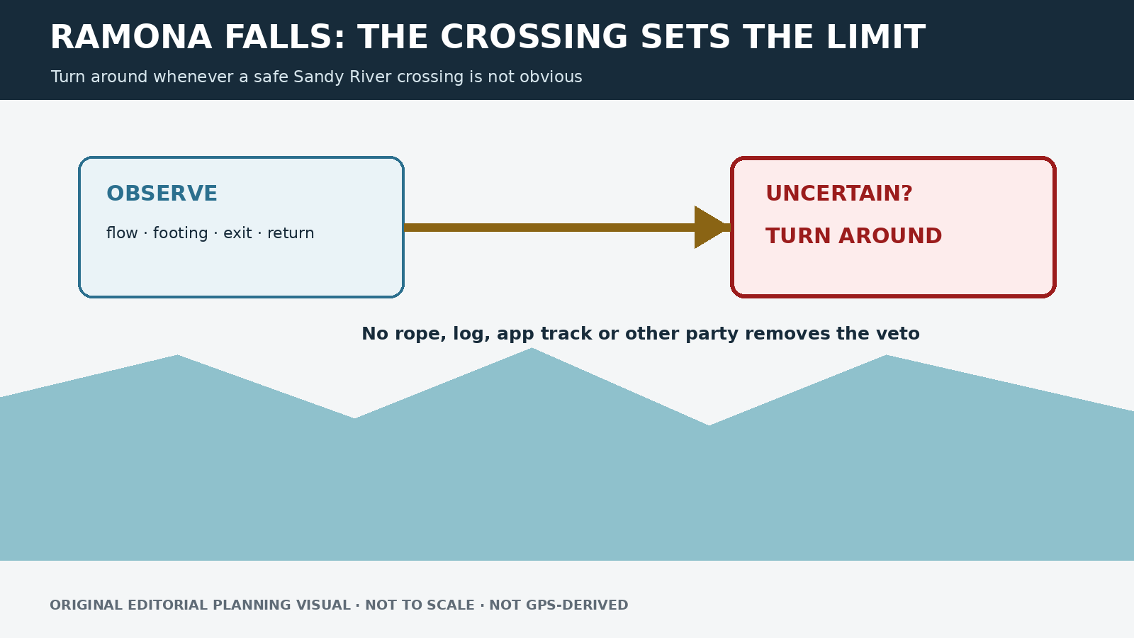
Original editorial planning graphic · not to scale · not GPS-derived
When to turn around
Turn around if the water is fast, deep, opaque or carrying debris; if stable footing or a clear exit is missing; if the weather suggests rising flow; or if anyone in the group is unsure. Do not depend on an improvised rope, an unstable log, a handline left by strangers or another party’s confidence. Reaching the waterfall is never worth forcing the crossing.
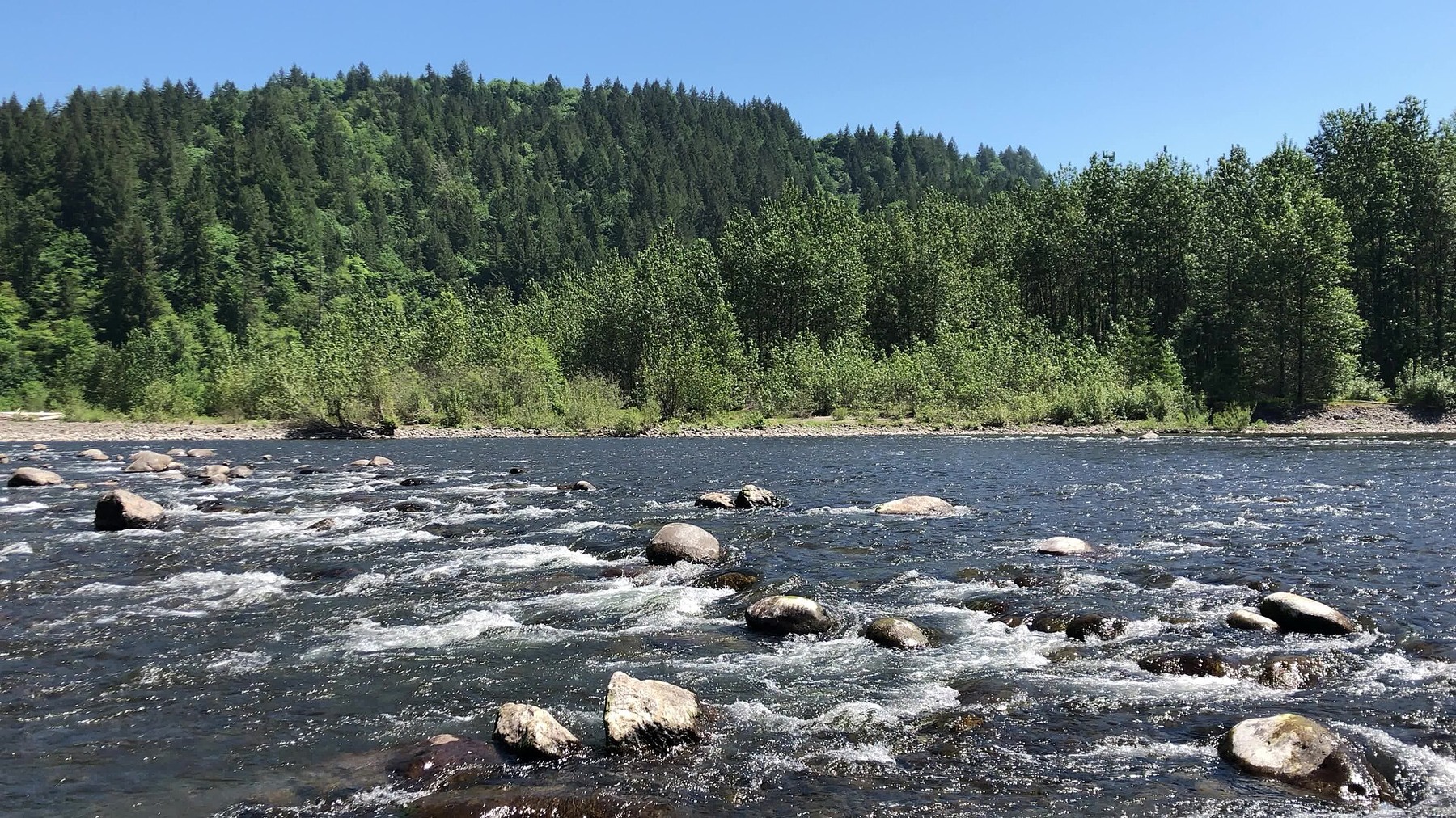
A sunny spring view of the Sandy River provides watershed context; it is not the exact crossing or a current safety assessment. Photo: BLM Oregon & Washington · Public domain · cropped and resized
Brief the group for both crossings
Route details after the crossing decision
The official route is about seven miles round trip. From the trailhead, the approach joins the Sandy River Trail system before reaching the river. Beyond the crossing, forested trail connected to the PCT continues toward Ramona Falls. Keep track of junctions and leave enough time to assess the river again on the return.
Check road access and trailhead status separately. A previously announced work period on Forest Road 1825 was scheduled to end August 21, 2026, so do not publish that expired notice as current. Use the live trailhead and alert pages instead.
Who should choose a different trail
The Forest Service describes the route as challenging and does not recommend it for children or pets. That guidance reflects more than distance: moving water is difficult to manage with a child, a leashed dog or a group with different risk tolerances. Even an experienced adult can make the right decision by turning around.
Season alone never guarantees a safe crossing
PCTA notes that mid-summer through early fall often brings a more manageable crossing, but “often” is not a guarantee. Heavy rain, warm weather, glacial sediment, wildfire, smoke and road conditions can change the day. No date on the calendar overrides the conditions in front of you.
Lower-risk alternatives
If the river ends the hike, do not search for an unofficial ford. Trillium Lake offers a lower-consequence summer loop. Mirror Lake provides a compact forest-and-lake destination. Tom Dick and Harry Mountain avoids the river crossing but adds a rough upper ridge and a steep final section.
A fuller safety briefing
Discuss the river before the hike, not after the group is emotionally committed at the bank. Everyone should understand that turning around is the planned response to uncertainty. Name a decision leader, but allow anyone to veto the crossing. Keep packs secured, and never detach a child or dog to get through a difficult passage. Another group’s successful crossing does not prove that the route is safe for people with different balance, height, footwear or risk tolerance.
If the group crosses on the way out, note the exact exit point and monitor weather and time throughout the hike. Glacial rivers can change during the day. Return early enough to reassess in full daylight, and be prepared to wait in a safe place or seek official help rather than forcing a deteriorating crossing. Do not publish a single water-depth threshold; depth alone cannot account for current speed, footing, debris, temperature and downstream consequences.
Key safety facts
Official distance: 7 miles round trip
Defining hazard: Unbridged Sandy River crossing
Bridge policy: No bridge is installed; Forest Service says none will be installed
Official suitability note: Challenging; not recommended for children or pets
Usually lower-flow window: Often mid-summer to early fall, but never guaranteed
Checked: August 24, 2026
Sources and last checked
Official agency pages are the authority for closures, access, fees and rules. Supplemental organizations are used only for clearly labeled planning estimates. This guide is based on published sources and does not claim a firsthand hike. Recheck all time-sensitive details on the publication date and again before travel.
Last checked: August 24, 2026. Review the page whenever an alert, fire restriction, road or gate status, fee, permit, seasonal rule, trail repair or official map changes.
Photo and graphic credits
Sandy Wild and Scenic River (38979844882).jpg — Bureau of Land Management Oregon and Washington from Portland, America, Public domain. · Sunny spring day on the Sandy River (28414524708).jpg — BLM Oregon & Washington, Public domain. · Ramona Falls (Oregon).jpg — Howard Kang, CC BY-SA 2.0.
Functional visual: original editorial graphic created for this article; not a trail map, GPS track or measured elevation profile.