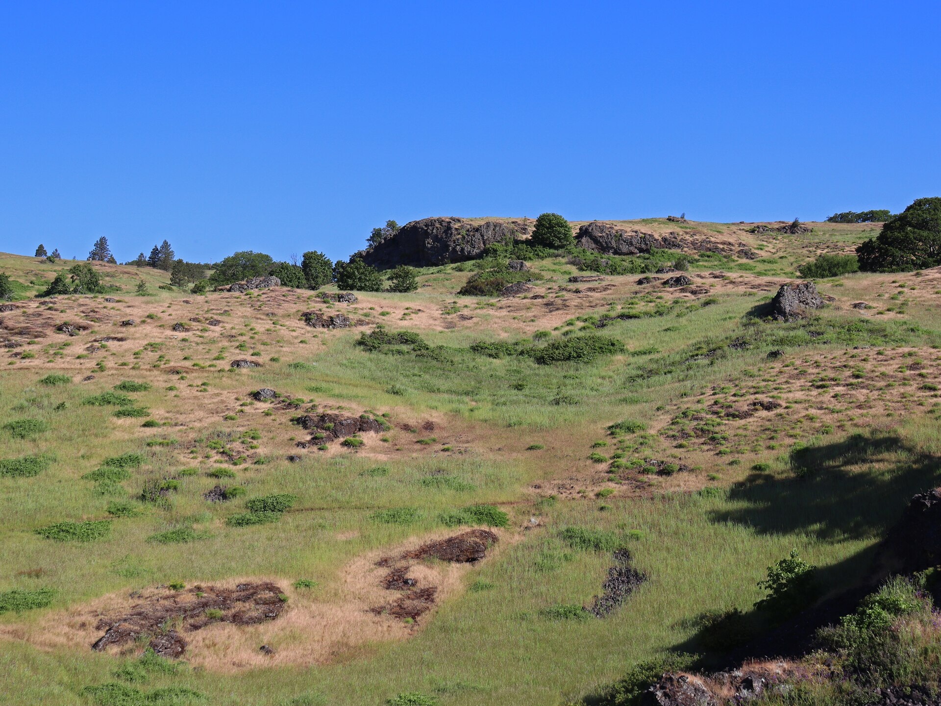
Coyote Wall is not a single official loop with a fixed distance. From the Coyote Wall Trailhead, hikers, mountain bikers, and horseback riders enter a network with more than 30 miles of trails. Named trails, old roads, restored slopes, private land, and seasonal restrictions all shape the route choices. The key question is not “Which loop is standard?” but “How much of this network fits today’s conditions and the group’s navigation skills?”
Site status checked September 2, 2026: The current Forest Service recreation page lists Coyote Wall as open, and no Coyote Wall hiking closure appeared in the current Scenic Area alerts. Forest-wide fire restrictions are in effect. This is not live status; reopen the Coyote Wall Recreation Area page and current alerts before leaving.
Choose a Route That Fits Your Day
| Choice | Best for | Navigation demands | When to turn back |
|---|---|---|---|
| Short out-and-back | Visitors who want open Gorge scenery without building a long loop | Low if you stay on signed trails and plan to retrace your route | Turn around while the return remains obvious |
| Route focused on Coyote Wall | Hikers prepared for sustained climbing and multiple signed junctions | Moderate; current signs matter more than an old online loop | Return by the known route if the next junction is uncertain |
| Longer network hike | Experienced groups with current mapping, water, daylight, and shared-trail awareness | High; the 30+ mile system offers many combinations | Do not extend merely to close a loop shown on an outdated map |
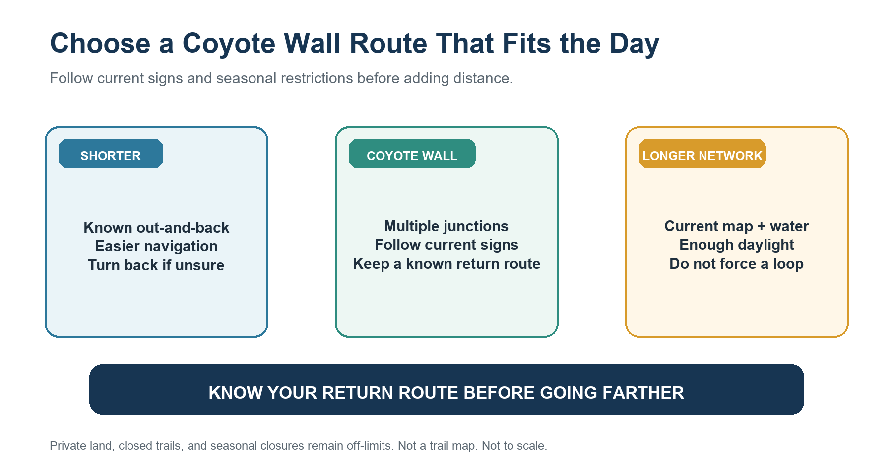
An out-and-back is often the simplest choice in a trail network. Retracing a known route makes sense when signs, time, wind, heat, or the group’s energy no longer support a longer loop.
Quick Facts for Coyote Wall Recreation Area
| Detail | Current official planning value |
|---|---|
| Managing agency | USDA Forest Service, Columbia River Gorge National Scenic Area |
| Network | More than 30 miles of trails from Coyote Wall Trailhead |
| Uses | Hiking, mountain biking, and horseback riding with seasonal restrictions |
| Fee | No fee |
| Parking | Designated spaces only; no parking along Courtney Road or Highway 14 |
| Trailhead | East side of Courtney Road near State Route 14 milepost 69.7, about 3 miles east of Bingen |
| Restroom | None |
| Potable water | None |
| Dog rule | Leash required December 1 through June 30 |
| Horse rule | Equestrian use prohibited October 1 through April 30 |
| Raptor Trail | Closed February 1 through June 15 |
| Season | Year-round, subject to conditions and restrictions |
No fee does not mean you can park anywhere. If designated parking is full, do not use Courtney Road or Highway 14 as overflow.
Why There Is No Single Official Coyote Wall Loop
The Forest Service lists Coyote Wall, Labyrinth, Little Maui, Little Moab, Old Ranch Road, Bitterroot, Raptor, and Upper Labyrinth among the area’s named trails. Those names describe a network, not a required sequence. The agency also warns that most maps may be out of date and that shorthand codes used during planning do not necessarily match today’s signs.
That warning changes how route descriptions should be used. A loop from a hiking app or older blog may cross a trail that has been realigned, renamed, or decommissioned. It may also use a distance measured from a different set of junctions. This guide therefore does not publish one unofficial combination as “the Coyote Wall Loop.”
The area directly below Coyote Wall to the west includes private land. Stay on official trails and respect boundary signs. A tempting line on the ground is not proof of public access, and a visible shortcut is not an invitation to reopen a route under restoration.
How to Plan a Route Without Relying on Old Side Trails
Start with current Forest Service information and a current map, but follow the signs on the ground if they differ from older sources. At each major junction, confirm three things before continuing: the trail name, the intended direction, and whether you can still return the same way.
If one of those answers is unclear, turn back on the route already traveled. Do not use a faint path to force a loop. The Forest Service has been rehabilitating the trail system and decommissioning user-created routes that damaged soils and habitat. Respect closure, restoration, and decommissioning signs even when an older map still shows a line.
The network’s open slopes can make destinations look closer than they are. Avoid extending the day simply because another ridge or junction is visible. Time, water, heat, wind, and the return route should matter more than the desire to connect one more segment.
Share the Trail With Bikes and Horses
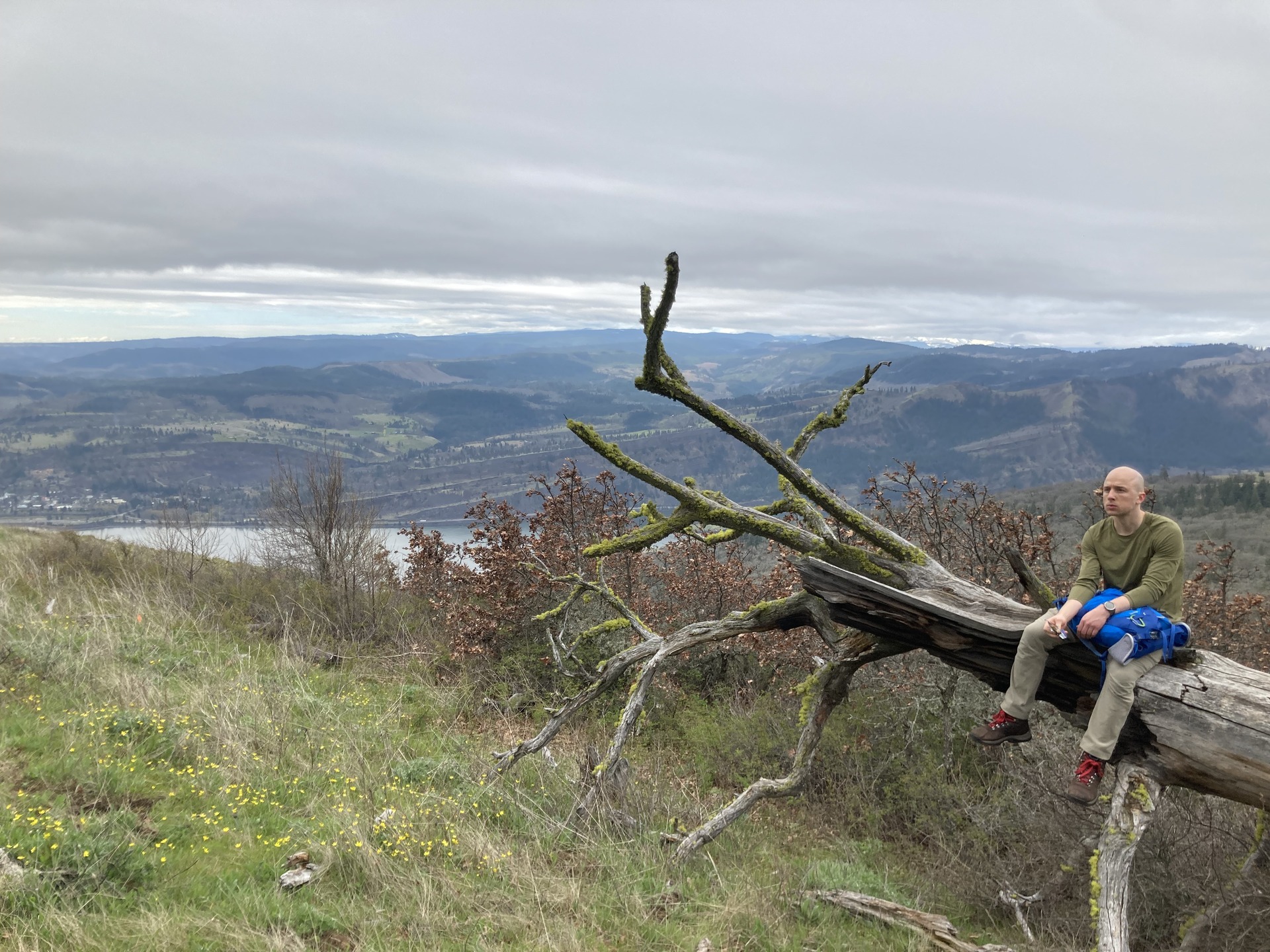
Coyote Wall is a multi-use recreation area. Expect faster mountain bikes and, during the allowed season, horses. Hikers should stay alert at blind turns, narrow sections, and junctions. Keep the group compact enough that other users can pass, and avoid blocking the entire trail during breaks.
Mountain bikers are directed to stay on designated trails and avoid decommissioned side trails and trails closed for restoration. Hikers should do the same. When encountering horses, speak calmly so the horse knows you are there, follow the rider’s instructions, and give the horse and rider the space they request rather than making a sudden move downhill or into vegetation.
Shared use is one reason a familiar return route can be preferable to an improvised loop. It reduces the need for last-minute navigation decisions while you are also watching for other trail users.
Seasonal Rules for Dogs, Horses, and Raptor Trail
Dogs must be on leash from December 1 through June 30. The leash season covers much of the period when wildflowers and sensitive wildlife draw the most attention. Even outside those dates, owners remain responsible for control, waste, other visitors, wildlife, and any posted rule that is more restrictive.
Raptor Trail is closed from February 1 through June 15 to protect breeding raptors and other sensitive wildlife and plants. Treat that closure as absolute. Do not add the trail to an itinerary simply because it would make a loop more convenient; plan around it or choose another area.
Equestrian use is prohibited from October 1 through April 30 in the Coyote Wall area. This restriction applies to horseback riding, not to hiking in general. Check the current Forest Service rules before your visit because seasonal restrictions can change.
For wider comparisons, see the Gorge dog and leash guide and the season, weather, and closure guide.
Parking, Water, Restrooms, and Fees
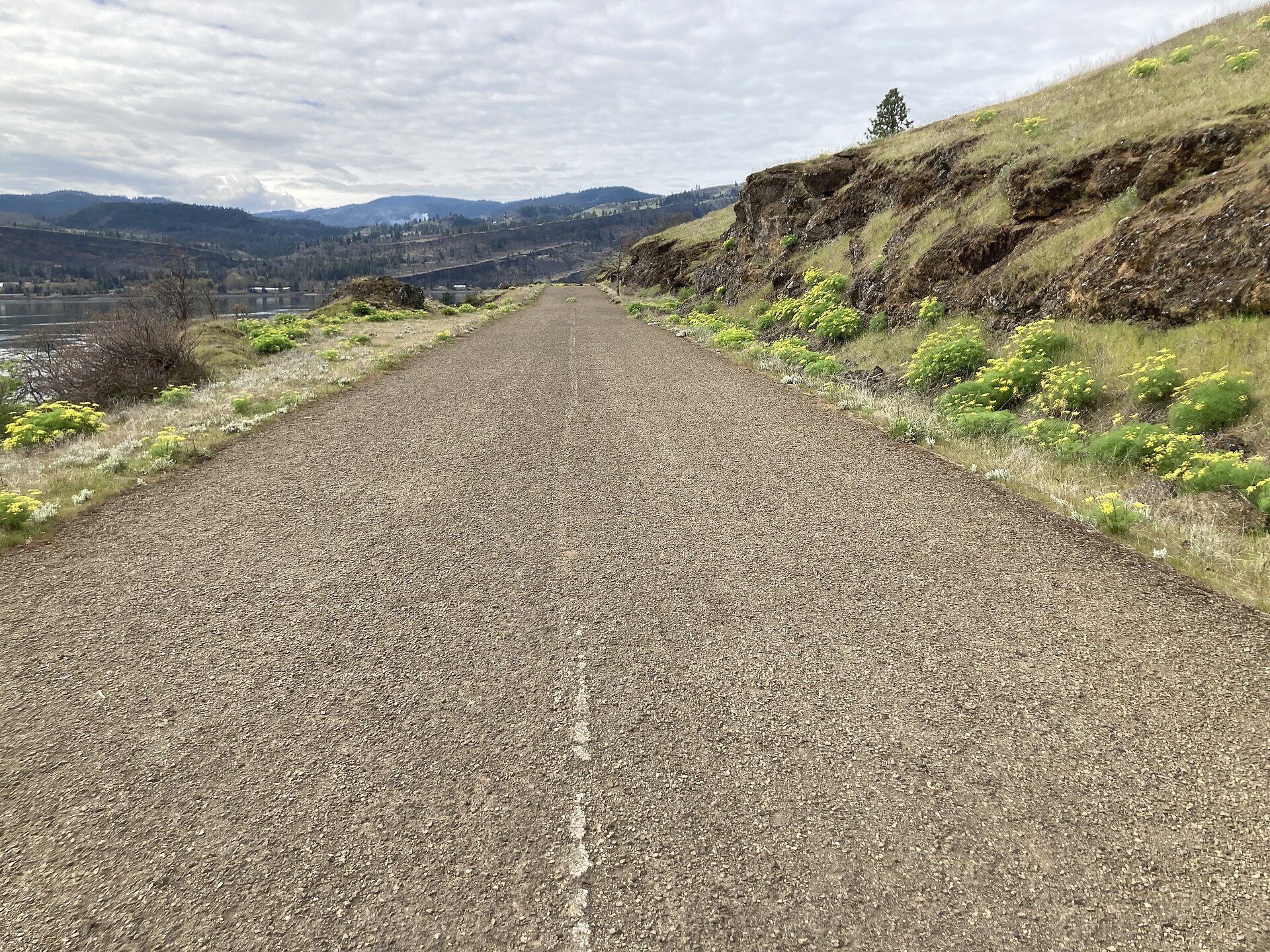
The official trailhead is just east of Courtney Road near State Route 14 milepost 69.7, roughly 3 miles east of Bingen. Park only in designated spaces. The Forest Service explicitly prohibits parking along Courtney Road or Highway 14, so arriving at a full lot requires a different plan—not a shoulder space.
There is no fee, restroom, or potable water at the site. Bring all the water you expect to need, plus extra in case the trip takes longer than planned. The lack of restrooms and water matters more as you move beyond a short outing.
Pass requirements vary widely across the Gorge even when trailheads are close together. The parking, passes, and permits guide explains the broader systems; for Coyote Wall, the current Forest Service page says no fee.
Heat, Wind, Fire, and Exposed Terrain
Coyote Wall’s open terrain provides little of the continuous shade found in western Gorge forests. Heat and wind can make the hike harder and less comfortable, while dry grass and seasonal fire restrictions can affect what is allowed. On September 2, 2026, Forest Service alerts showed public-use fire restrictions across National Forest System lands in the Scenic Area.
That alert is not a trail closure, but it is a reason to check the current order and leave all prohibited fire sources at home. Smoke, extreme heat, strong wind, or a red-flag forecast may justify choosing a shorter route or postponing the trip. A static page cannot provide live weather, fire, or air-quality conditions.
Open slopes and basalt edges also require deliberate footing and route discipline. Stay on official tread, keep back from edges that exceed the group’s comfort, and do not treat a photograph or map contour as proof of current surface conditions.
When Another Gorge Hike Fits Better
Choose another hike if the group wants a clearly marked route with a fixed distance, needs reliable shade, cannot carry enough water, or does not want to share a complex network with bikes and horses. Coyote Wall is best suited to hikers who are comfortable making conservative route choices at multiple junctions.
For regional comparisons, use Best Hikes in the Columbia River Gorge or Best Hikes Near Hood River. For spring bloom timing across multiple areas, use the Columbia Gorge wildflower guide rather than treating Coyote Wall as the only option.
Related Guides
- Best Hikes in the Columbia River Gorge
- Best Hikes Near Hood River
- Columbia Gorge Wildflower Hikes
- Parking, Passes, and Permits in the Columbia River Gorge
- Dog and Leash Rules in the Columbia River Gorge
- Best Time to Hike the Columbia River Gorge
Official Sources
- USDA Forest Service: Coyote Wall Recreation Area
- USDA Forest Service: Columbia River Gorge National Scenic Area Alerts
- USDA Forest Service: Coyote Wall Trail Realignments and Decommissioning Decision
- Washington Geological Survey: Coyote Wall
Photo and Graphic Credits
Jeff Hollett — CC BY-SA 4.0 (33-coyote-wall-recreation-area-view.jpg) | Mattsjc — CC BY 4.0 (33-hiker-resting-on-coyote-wall-slope.jpg)
Mattsjc — CC BY 4.0 (33-abandoned-road-used-as-coyote-wall-trail.jpg)
Graphic: original editorial synthesis; not a trail map and not to scale. Photos resized without cropping or color adjustment.