Trail guides · Pacific Northwest
Columbia River Gorge
Find a route that fits the day, from quick forest walks to waterfall hikes and longer ridge outings. Start with the landscape, time, and conditions that matter most.
-
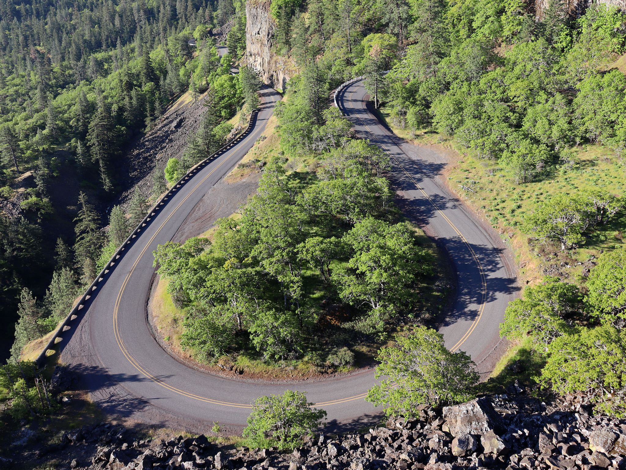
Rowena Crest Guide: The Overlook, Rowena Plateau Trail, and McCall Point
Compare the Rowena Crest overlook, easier Plateau Trail, and steeper McCall Point hike to choose the best option for your time and ability.
-
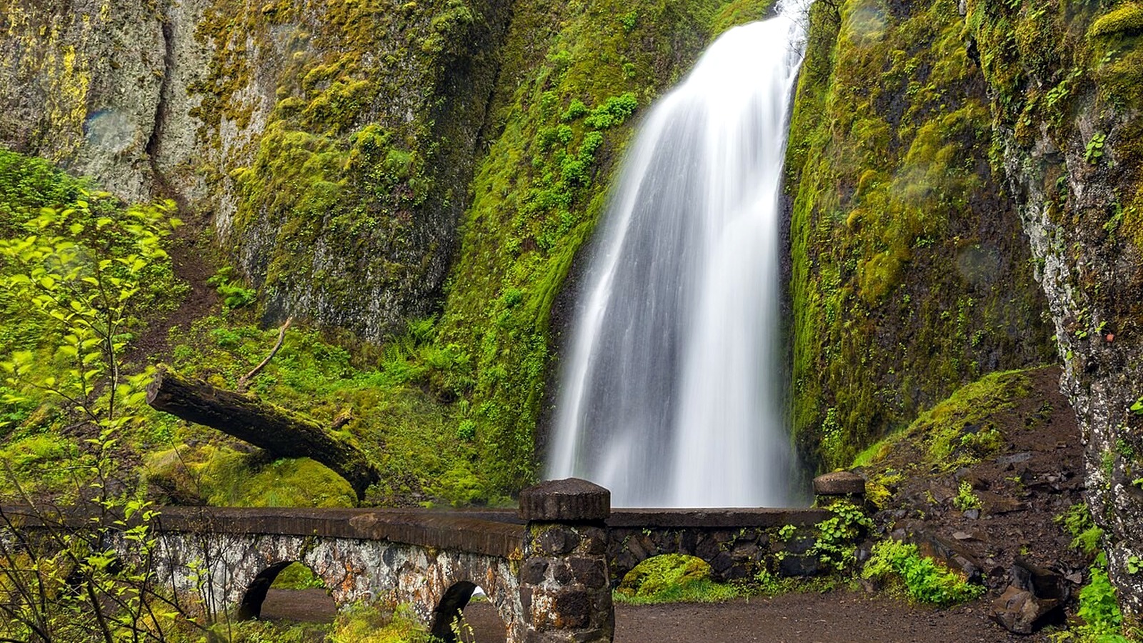
9 Best Waterfall Hikes in the Columbia River Gorge
9 Best Waterfall Hikes in the Columbia River Gorge From roadside viewpoints to cliffside canyon trails, these nine options cover the Gorge's best-known waterfalls and the access details that matter before you go. Trail and closure information was last checked on August 25, 2026. The parking and timed-use permit details below, plus the Historic Highway…
-
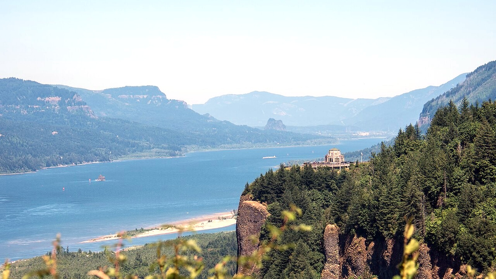
10 Best Hikes in the Columbia River Gorge
10 Best Hikes in the Columbia River Gorge Ten classic Gorge hikes, organized by scenery, effort, exposure, and the access details that can make or break the day. Official sources were last checked on August 25, 2026. This guide draws on current agency information rather than a firsthand trail review. Crown Point and Vista House…
-
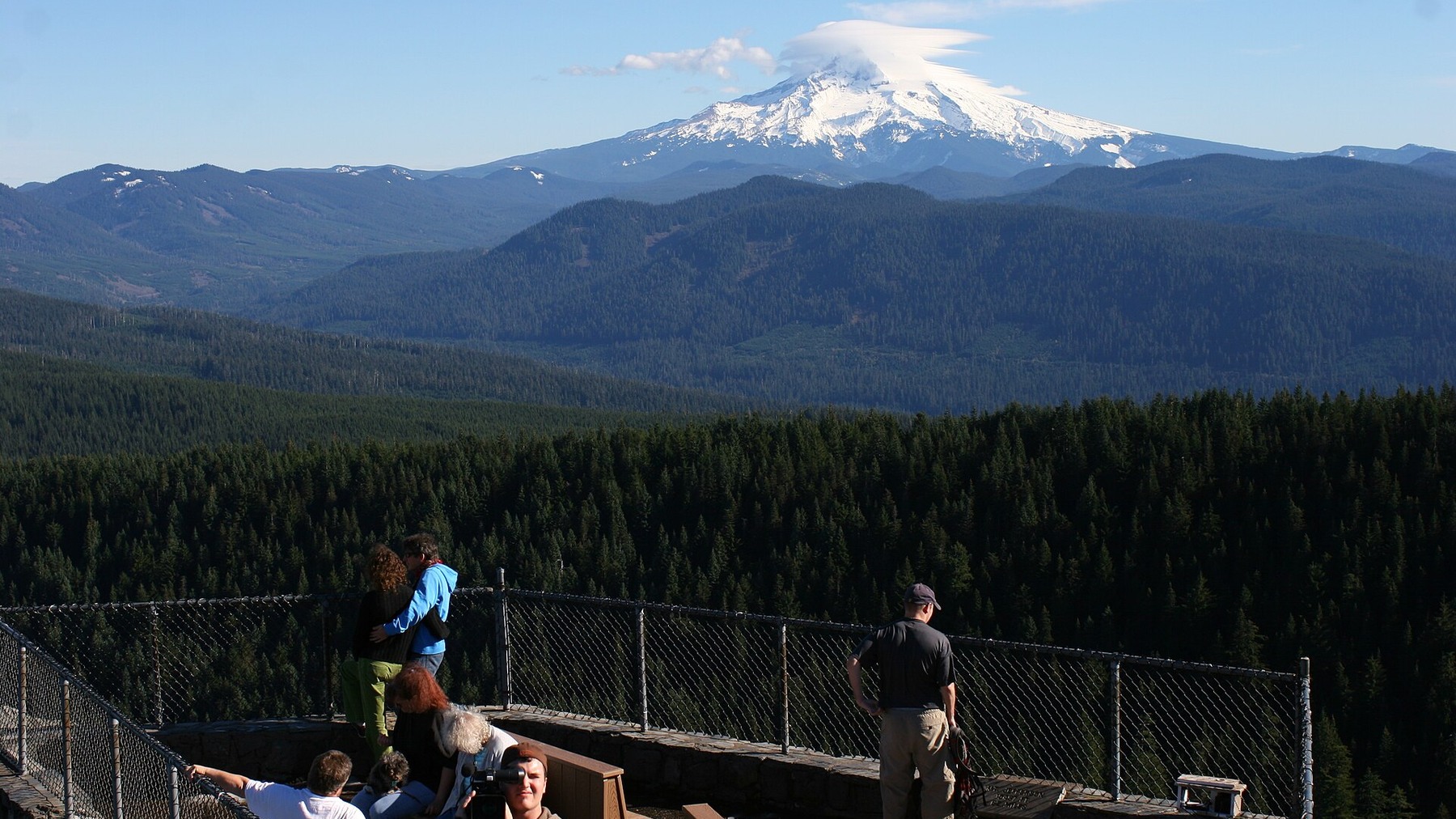
Larch Mountain Trail, Oregon: Viewpoint, Road Access and One-Way Route
Larch Mountain Trail, Oregon: Viewpoint, Road Access and One-Way Route “Larch Mountain Trail” may refer to a short summit viewpoint or a demanding one-way connection to Multnomah Falls. Decide which trip you mean before relying on a mileage figure. Research-based editorial guide · Official access status checked August 24, 2026 · No claim of a…
-
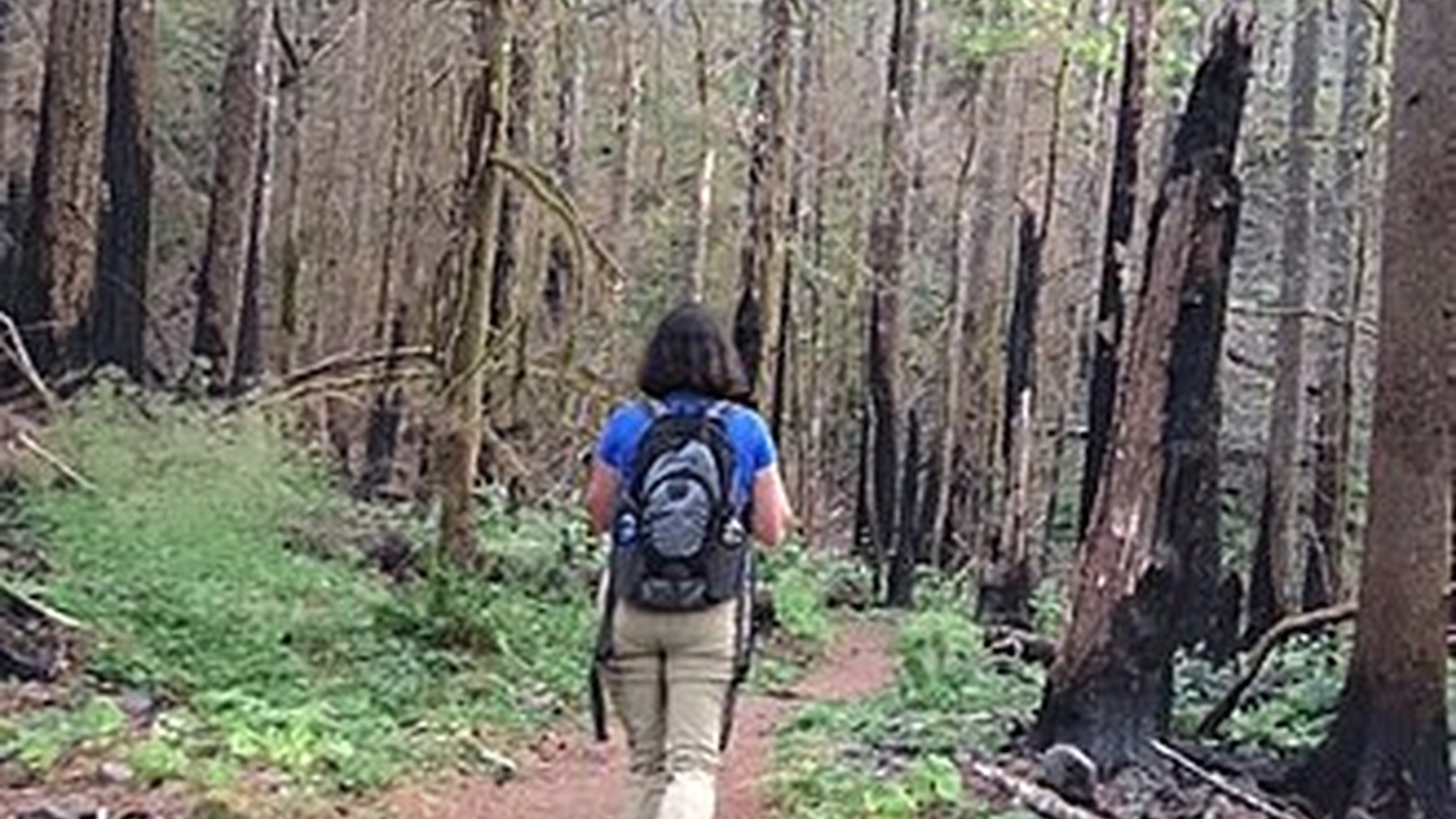
Dry Creek Falls Trail: PCT Route, Parking and Fee Guide
Dry Creek Falls Trail: PCT Route, Parking and Fee Guide A forested waterfall hike near Cascade Locks with one easy-to-miss planning detail: the parking operator and the trail manager are not the same agency. Research-based editorial guide · Official access status checked August 24, 2026 · No claim of a personal hike or firsthand test…
-

Cape Horn Trail: Seasonal Loop Closure and Route Guide
Cape Horn Trail: Seasonal Loop Closure and Route Guide Cape Horn’s legal route changes during the year. The lower loop closes for peregrine nesting, while the upper trail remains available as the permitted alternative. Research-based editorial guide · Official access status checked August 24, 2026 · No claim of a personal hike or firsthand test…
-
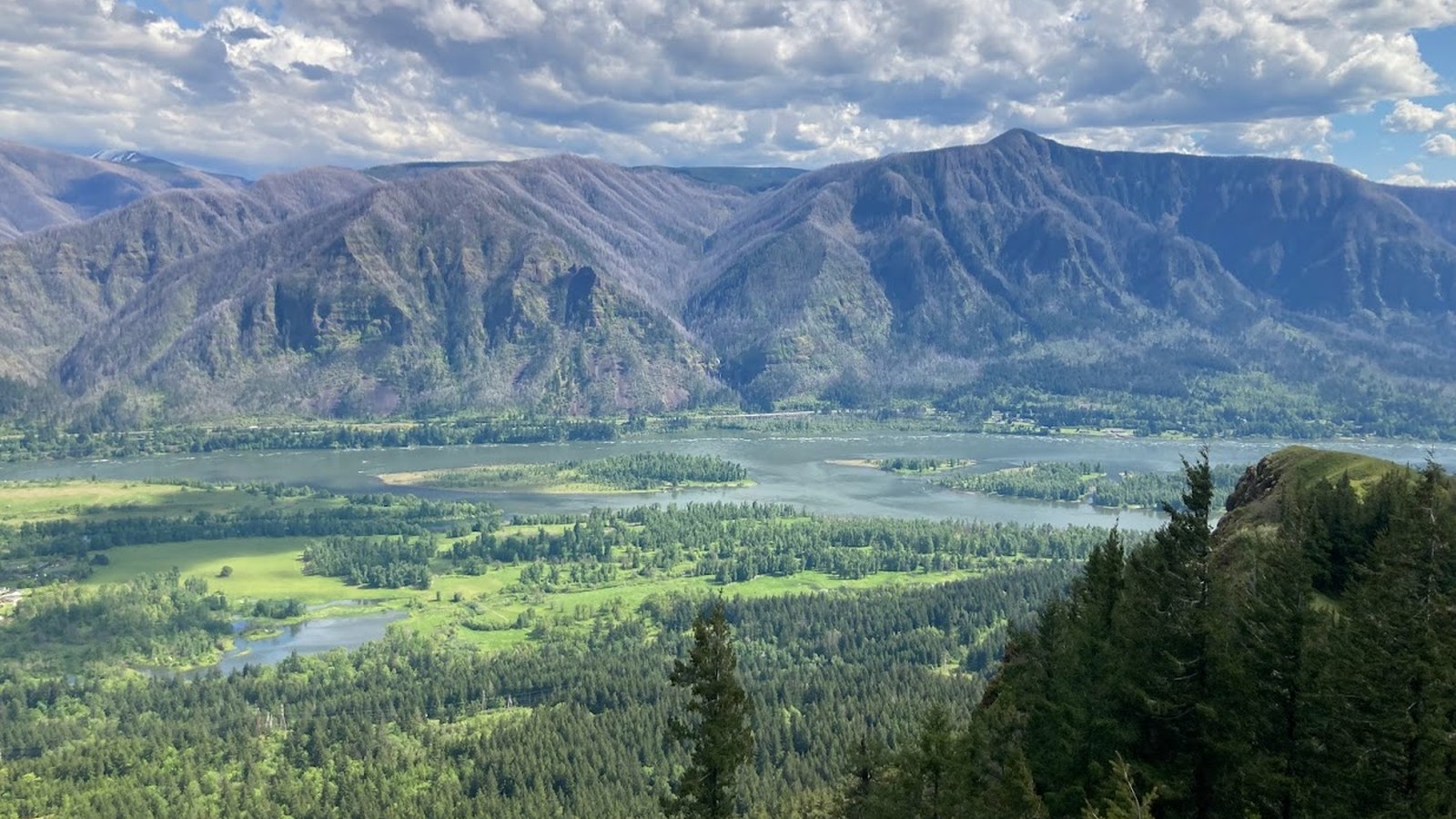
Hamilton Mountain Trail: Choose the Falls, Summit or Full Loop
Hamilton Mountain Trail: Choose the Falls, Summit or Full Loop You do not have to treat Hamilton Mountain as an all-or-nothing hike. Choose a turnaround before leaving Beacon Rock State Park, and save enough energy for the descent. Research-based editorial guide · Official access status checked August 24, 2026 · No claim of a personal…
-
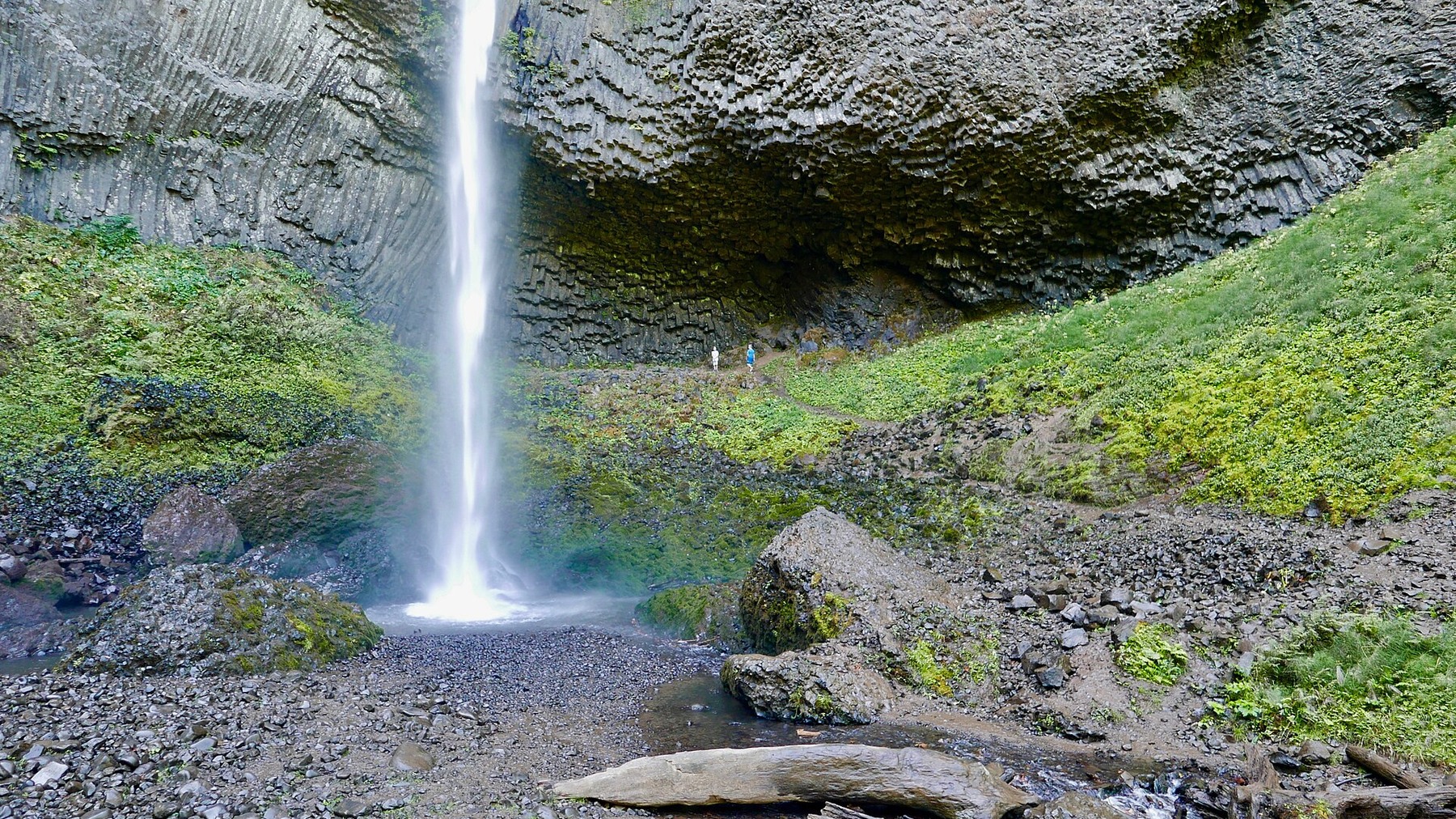
Latourell Falls Trail: 2-Mile Loop, Parking Fee and Route Stages
Latourell Falls Trail: 2-Mile Loop, Parking Fee and Route Stages A compact loop with two waterfalls, forested trail and one important 2026 update: the trailhead now charges a state park parking fee. Research-based editorial guide · Official access status checked August 24, 2026 · No claim of a personal hike or firsthand test OPEN SUBJECT…
-
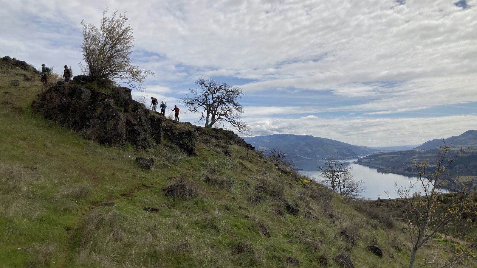
Best Hikes Near Hood River: Choose by Direction and Weather
Best Hikes Near Hood River: Choose by Direction and Weather Hood River works well as a base for hikes in four directions. The best choice depends on wind, heat, closures, parking and how much time and effort the group wants to commit. Research-based editorial guide · Official access status checked August 24, 2026 · No…
-
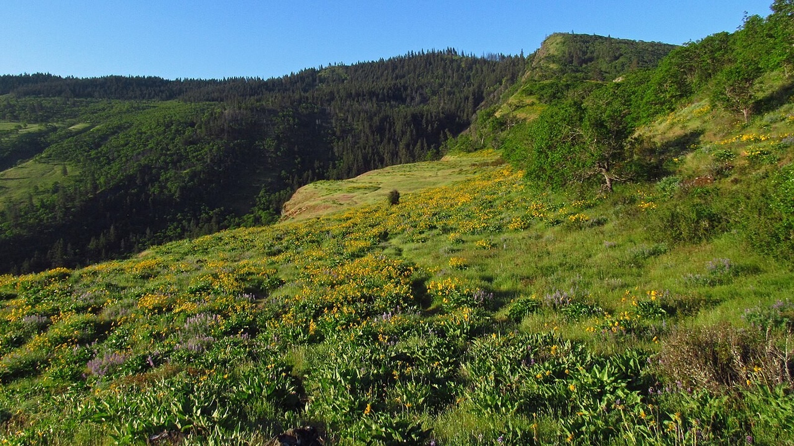
Columbia Gorge Wildflower Hikes: Where to Find Blooms from Early Spring to Summer
Columbia Gorge Wildflower Hikes: Where to Find Blooms from Early Spring to Summer Wildflower season usually begins on the Gorge’s low, sunny eastern slopes and moves to higher elevations as spring turns to summer. Bloom dates vary every year, so recent reports matter more than last year’s calendar. Research-based guide · Official information checked August…