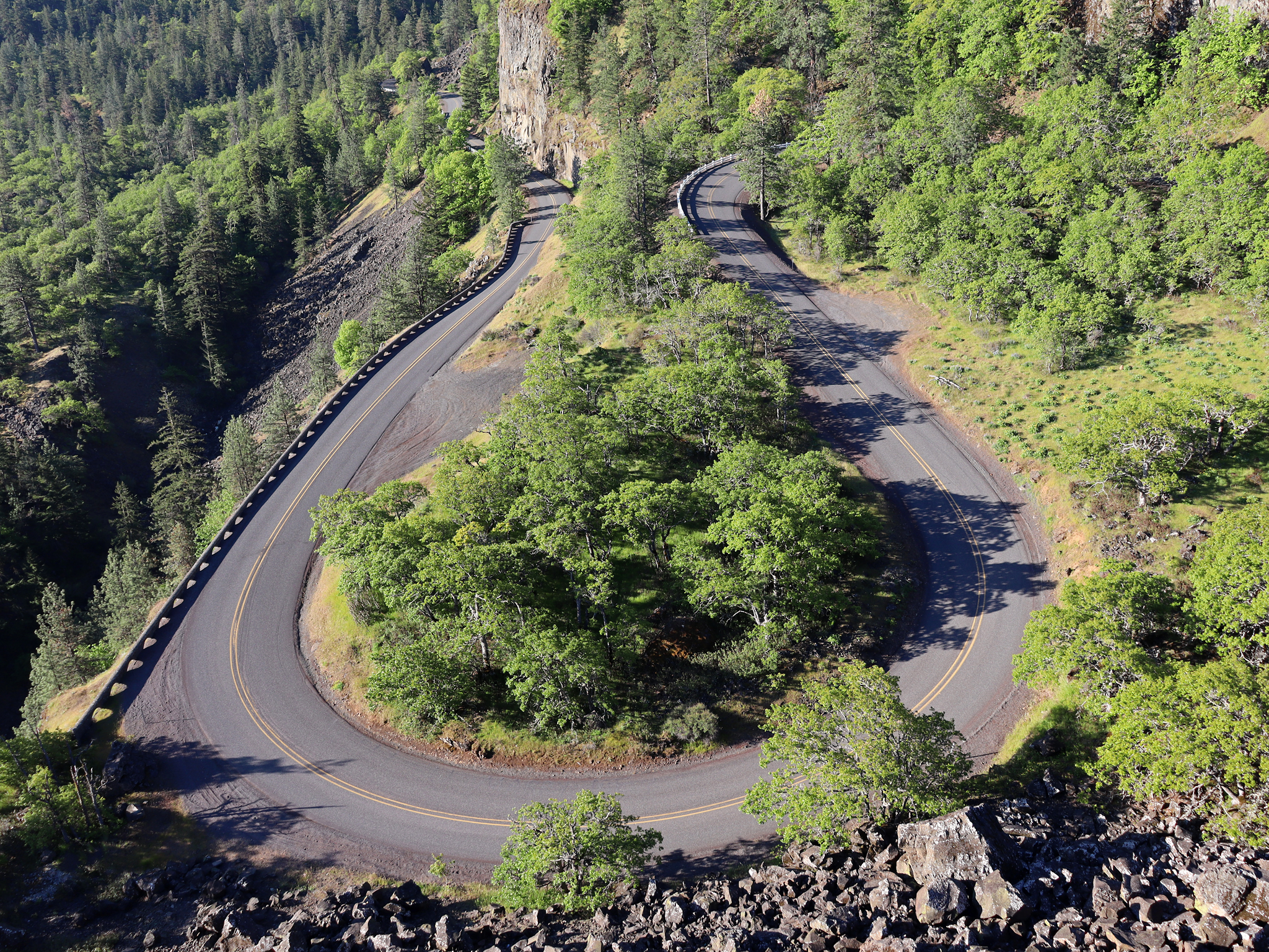
At Rowena Crest, you can stop at the overlook, take the gentler Plateau Trail, or climb toward McCall Point. The best option depends on how much time and climbing you want, your comfort with exposed terrain, and the preserve’s seasonal rules.
Status checked September 29, 2026: Tom McCall Nature Preserve is seasonally open, but its current official page gives conflicting opening dates for the McCall Point Trail. It also prohibits dogs throughout the preserve. Check the preserve page and posted signs before starting.
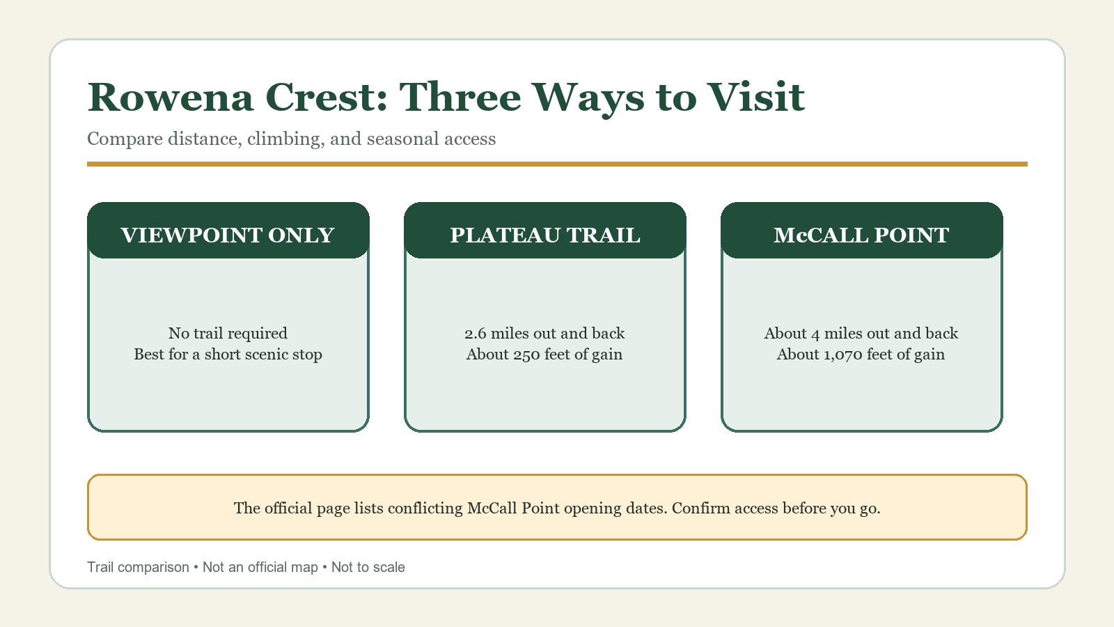
Three Ways to Visit Rowena Crest
The overlook, Plateau Trail, and McCall Point Trail begin in the same area, but they offer very different outings. The overlook is a roadside stop, the Plateau Trail stays lower with modest climbing, and McCall Point is a longer, steeper hike with considerably more elevation gain and exposure.
| Choice | Published distance | Published gain | Best fit |
|---|---|---|---|
| Rowena Crest viewpoint | No trail required | — | A short scenic stop or a companion who does not want to hike |
| Plateau Trail with Shasha Loop | 2.6 miles out and back | About 250 feet | Open views and seasonal flowers with less climbing |
| McCall Point Trail | About 4 miles out and back | About 1,070 feet | A sustained climb for hikers prepared for steep, exposed terrain |
The official measurements are planning figures, not guarantees from a GPS track. Your recorded total can vary with where you park, small route choices, and device behavior.
The Plateau Trail: Open Views with Less Climbing
The Plateau Trail is the clearest choice if you want a hike without the roughly 1,000 feet of climbing required for McCall Point. The Nature Conservancy describes it as a 2.6-mile out-and-back route that includes the Shasha Loop, with about 250 feet of elevation gain.
This is still a narrow, exposed preserve trail, not a paved path. The official accessibility notes describe tread that is generally one to three feet wide and state that the route is not accessible for mobility devices. Stay on the marked trail even when flowers or a viewpoint appear close; stepping off the route can damage the habitat the preserve protects.
What Changes in Spring
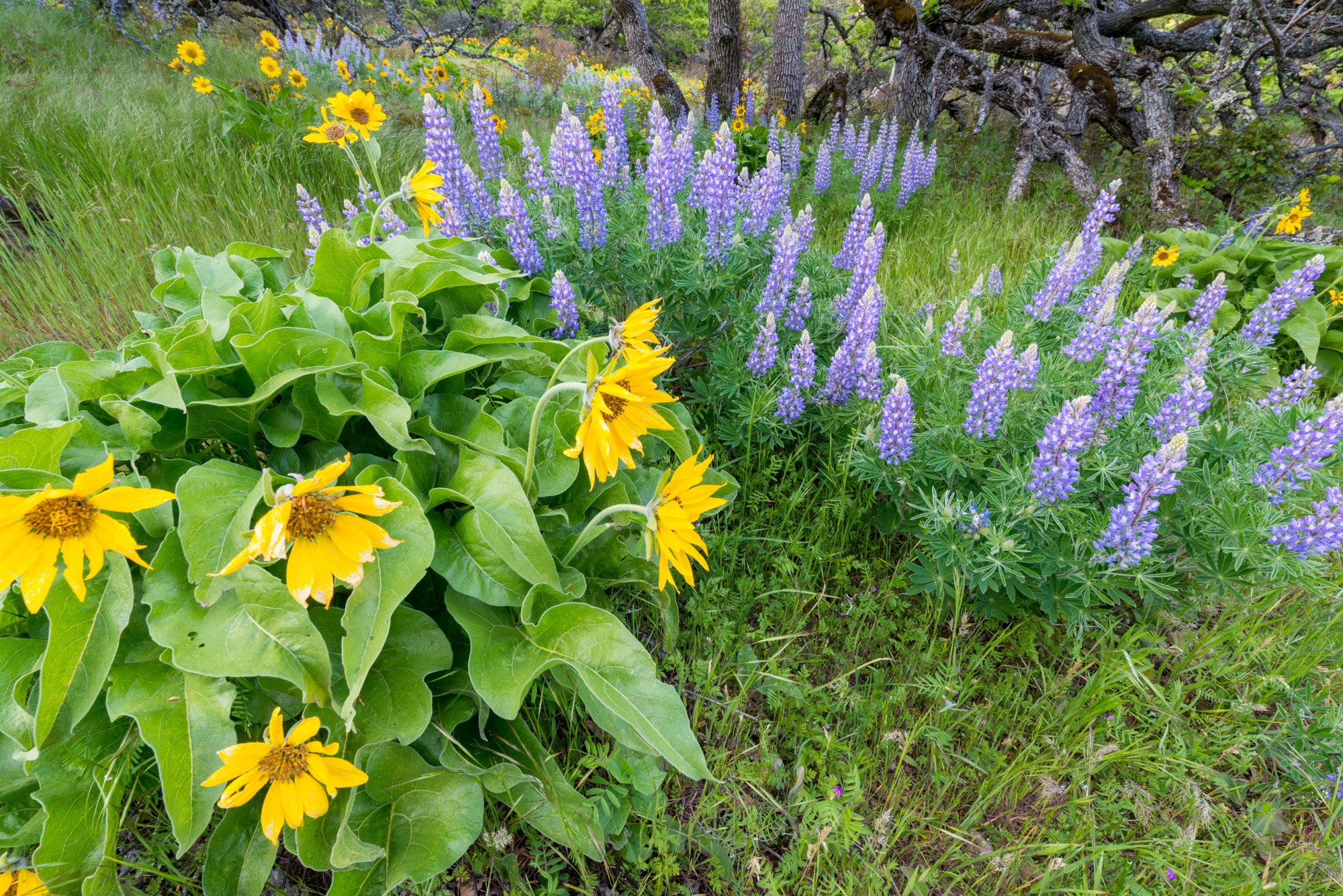
April and May are usually the preserve’s busiest months and its strongest wildflower period, according to The Nature Conservancy. That makes an early start useful for parking and for a calmer walk, but it does not authorize roadside parking or leaving the marked trail. Bring layers: the crest is open to wind and can feel very different from the sheltered western Gorge.
Pause to enjoy and photograph the wildflowers from the trail. Do not pick plants, move rocks, or place a tripod in vegetation. If a narrow section is busy, wait on the established tread rather than widening the path.
McCall Point: A Longer, Steeper Hike
McCall Point is the better choice when you specifically want a climb. The managing-agency page gives about four miles round trip and roughly 1,070 feet of gain, rising from approximately 650 feet to 1,722 feet. The first half mile is described as hard-packed dirt and gravel with moderate accessibility; beyond that, the trail becomes narrower and steeper, with stairs and rocky tread.
That difference matters. A group comfortable on the Plateau Trail may not enjoy the upper route’s steep drop-offs, loose or slippery sections, and limited shade. Turn around before the terrain exceeds the group’s comfort. You do not need to reach McCall Point; turn back early if that is the safer choice.
Check the Conflicting Seasonal Dates Before You Go
The Nature Conservancy’s current page is not internally consistent. Its access section says the McCall Point Trail is open March 1 through October 31, while the directions section says the two-mile trail to McCall Point is open May through October. Because that difference can change whether a spring trip is legal, this guide does not choose one date and present it as settled.
Open the official preserve page shortly before departure and follow any gate, notice, or sign at Rowena Crest. If access to McCall Point is unclear, use the plateau option only when it is posted open or enjoy the viewpoint without entering a closed trail.
Preserve Rules for Both Trails
Tom McCall is a protected nature preserve, not a general-purpose park. The Nature Conservancy lists the following rules:
- No dogs, including leashed dogs.
- Stay on marked trails.
- No drones, bicycles, motor vehicles, hunting, camping, or campfires.
- Do not collect flowers, plants, rocks, or other natural material.
- Do not picnic in the preserve.
- Groups of ten or more should contact the preserve in advance.
These rules may determine whether the preserve works for your group. If you are hiking with a dog, choose a legal dog-friendly route elsewhere and confirm its current leash requirements.
Parking and Restrooms at Rowena Crest
Both trails begin near the Rowena Crest viewpoint on the Historic Columbia River Highway. Oregon State Parks provides driving directions from Interstate 84 via Mosier or The Dalles. Use the designated parking area and do not create a space along the highway shoulder.
There is no restroom at Rowena Crest. Oregon State Parks identifies restrooms and other facilities at the Lower Mayer day-use area. Treat that as a separate stop rather than assuming facilities will be available at the trailhead.
If the lot is full during peak bloom, continue to a legal alternative instead of waiting in the travel lane or creating a shoulder space.
Wind, Heat, Wildlife, and Drop-Offs
The official preserve page identifies ticks, poison oak, rattlesnakes, and steep drop-offs. The McCall Point route also has steep, rocky sections that can become slippery. Open slopes can add wind, sun, and heat to an outing that looks short on paper.
- Check the weather for the crest rather than relying on conditions in Portland.
- Carry water; no drinking-water source is confirmed at the trailhead.
- Use sun protection and inspect for ticks after the walk.
- Give wildlife space and keep hands away from rocks or brush you cannot see into.
- Keep children close near drop-offs and when the trail is crowded.
Wildfire restrictions and closures can change quickly in summer. Recheck the park profile and Gorge alerts before travel.
When to Choose Each Option
Choose the viewpoint only when time is short, when someone in the group does not want a trail walk, or when trail access is closed or unclear.
Choose the Plateau Trail when you want open Gorge scenery and seasonal flowers with much less climbing than McCall Point. It requires less climbing, but it still has narrow tread, exposed sections, and preserve rules.
Choose McCall Point when everyone wants a sustained climb and is comfortable with steeper, rockier trail and drop-offs. Confirm the opening date first, because the current official page contains conflicting seasonal language.
Related Guides
- Best Hikes Near Hood River
- Best Wildflower Hikes in the Columbia River Gorge
- Coyote Wall Trail Guide
- Columbia River Gorge Hiking Seasons, Weather, and Closures
Official Sources
- Oregon State Parks: Mayer State Park and Rowena Crest
- The Nature Conservancy: Tom McCall Preserve at Rowena
Photo and Graphic Credits
- Rowena Crest overlook: Jeff Hollett, Wikimedia Commons, CC0.
- Balsamroot and lupine: Gary Halvorson, Oregon State Archives, Wikimedia Commons, CC BY 4.0.
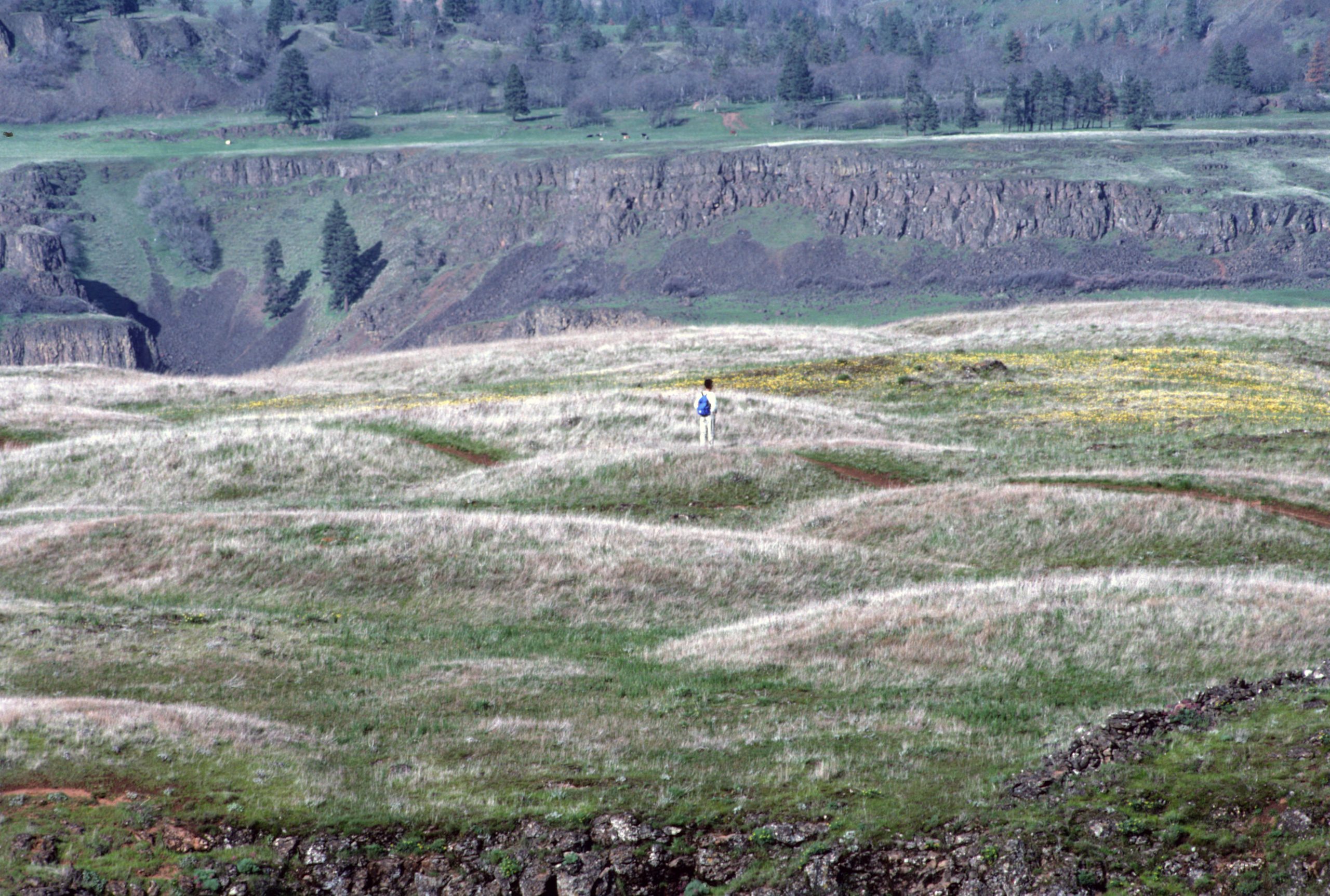
- Hiker at Tom McCall Nature Preserve: U.S. Forest Service, Wikimedia Commons, public domain.
- Three ways to explore Rowena Crest: original Cascadia Hike Guide editorial graphic based on the official sources above; not an official map and not to scale.