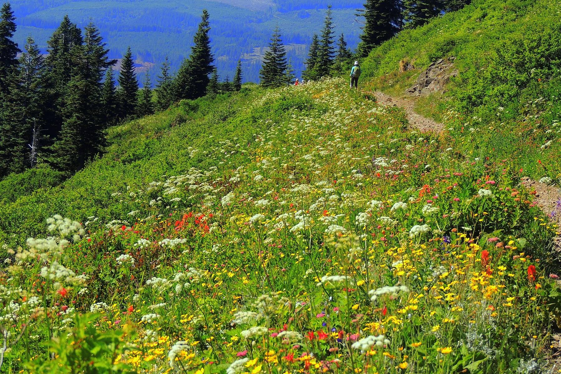
For a Silver Star Mountain hike from the south, the biggest questions arise before you reach the trail. You need to account for the rough forest-road approach, lack of trailhead amenities, current closures, and sustained climb. Grouse Vista is the southern trailhead for the direct Pyramid Rock–Silver Star route; it is not interchangeable with the north-side Silver Star Trailhead.
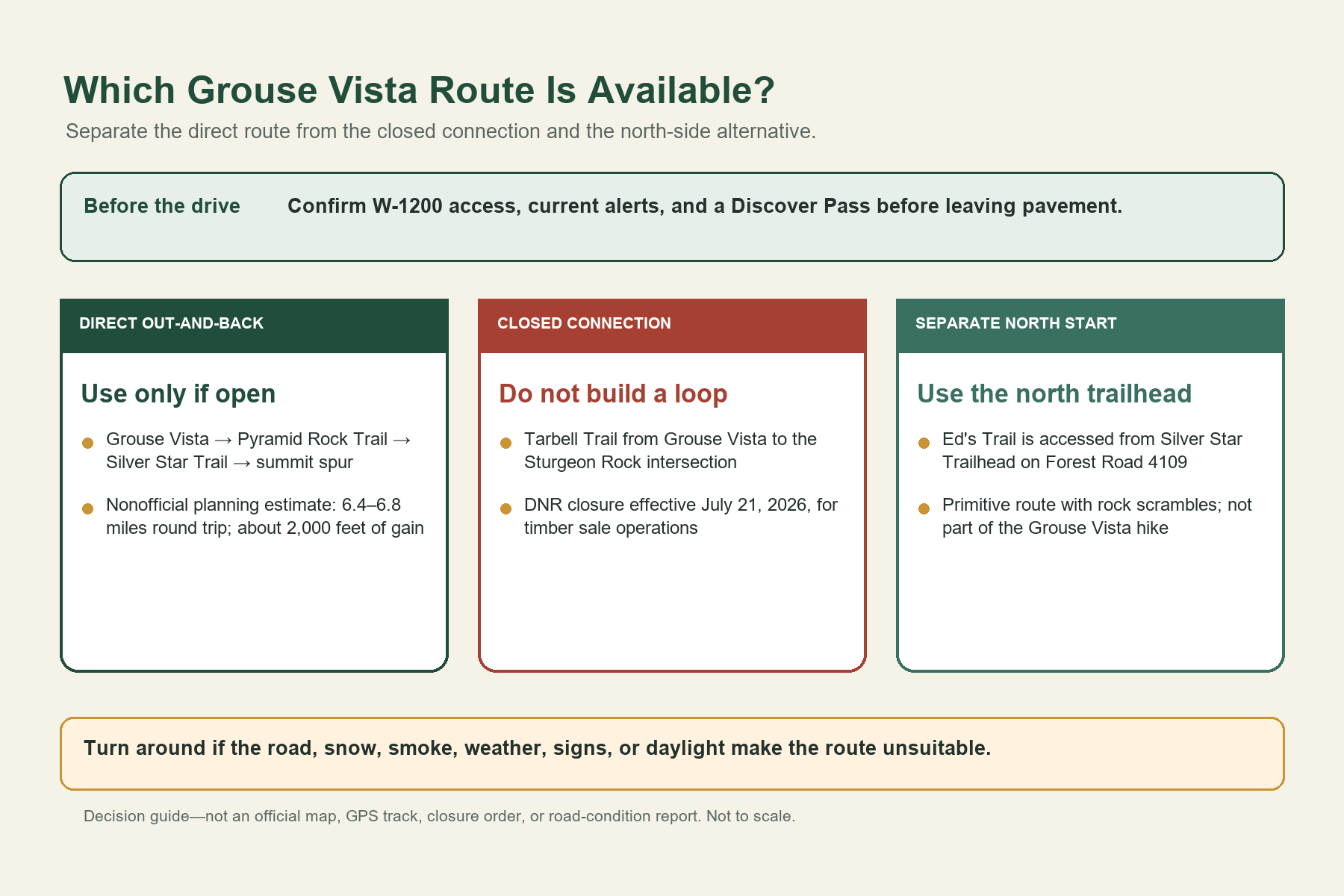
Plan this hike as an out-and-back. Current DNR information closes the Tarbell connection used by common loop routes, while Ed’s Trail begins from a separate northern approach. Before leaving, confirm that the direct route is open and appropriate for your group.
Route restriction rechecked September 24, 2026. Washington DNR lists the Tarbell Trail from Grouse Vista Trailhead to the Sturgeon Rock Trail intersection as closed since July 21, 2026, for timber sale operations. Do not use that closed segment to complete a loop. The direct Grouse Vista–Pyramid Rock–Silver Star out-and-back is the route described here. DNR’s general Yacolt Burn page does not confirm W-1200 is passable or every remaining trail segment is open; check current agency alerts and posted restrictions before attempting the approach.
Is Grouse Vista the Right Trailhead for Your Hike?
Choose Grouse Vista when your group is prepared for an increasingly rough gravel-road approach, has checked the parking-pass rules for the visit date, and can complete a strenuous out-and-back without using the closed Tarbell segment. From summer through fall, the route offers open slopes, seasonal wildflowers, and expansive summit views when conditions are clear.
Choose another hike if you have a low-clearance vehicle or if snow, smoke, a late start, or uncertain road access makes the approach unsuitable. The trailhead has no amenities, and passes are not sold there. Confirm the route, vehicle, and timing before beginning the long drive up W-1200.
Grouse Vista to Silver Star at a Glance
| Trip detail | Planning information |
|---|---|
| Start | Grouse Vista Trailhead in Yacolt Burn State Forest |
| Direct route | Pyramid Rock Trail #180F → Silver Star Trail #180 → Summit Trail #180D |
| Round-trip estimate | Approximately 6.4–6.8 miles; nonofficial planning range |
| Elevation-gain estimate | About 2,000 feet; nonofficial planning estimate |
| Official summit spur | Silver Star Summit Trail #180D, 0.25 mile |
| Normal season | Summer through fall; high-elevation snow can persist into mid-July |
| Parking requirement | Discover Pass usually required for parked vehicles; check free days; not sold on site |
| Amenities | None at the Grouse Vista parking lot |
| Dogs | Leash required on DNR-managed Yacolt Burn land |
| Shared use | Expect hikers, mountain bikers, and horseback riders near Grouse Vista |
| Current exclusion | Tarbell Trail from Grouse Vista to the Sturgeon Rock intersection is closed |
The mileage and elevation gain above come from two established nonofficial route records that measure the hike differently. Use them to estimate time and effort, but do not treat them as DNR or Forest Service measurements. The Forest Service’s five-mile figure describes Trail #180 within the larger trail system; it is not the round-trip distance from Grouse Vista.
Reaching Grouse Vista on DNR Road W-1200
From the Washougal side, the Forest Service directs drivers to DNR Road W-1200 and then along that road for about 5.7 miles to Grouse Vista. Its official description says the road becomes increasingly rough and may require slow travel. DNR separately warns that its forest roads are not regularly maintained.
The DNR page does not provide a live passability report for W-1200, and no general road description can guarantee that a particular vehicle can complete the drive. Weather, drainage damage, potholes, washboarding, fallen material, active operations, and seasonal gates can change the road. Check the Yacolt Burn State Forest page, Forest Service alerts, and current signs before continuing. If the road exceeds the vehicle’s capability or the driver’s comfort level, turn around without blocking traffic or damaging the road edge.
Download the official DNR Yacolt Burn map before leaving reliable service. It shows the larger trail and road system, but it should not replace a current closure notice or a navigation tool suited to backcountry travel.
Discover Pass Rules at Grouse Vista
A Washington Discover Pass is generally required for a street-licensed vehicle parked at Grouse Vista, but DNR-designated free days are an exception. Check the current DNR pass page and free-day calendar for your visit date. The Forest Service says passes are not sold at the trailhead. As checked September 24, 2026, DNR lists a one-day pass at $10 and an annual pass at $45, with possible transaction fees.
If your visit is not on a free day, obtain the pass before starting the forest-road approach and display it as directed. The pass does not reserve a space, guarantee road conditions, or override a closure.
Follow the Direct Route, Not a Closed Loop
From Grouse Vista, the direct route uses the Pyramid Rock Trail connection toward Silver Star Trail #180. The lower portion follows an old roadbed before the terrain opens higher on the mountain. Once on Trail #180, continue to the signed Silver Star Summit Trail #180D for the final 0.25 mile to the summit.
This guide describes how the trail segments connect rather than providing turn-by-turn directions. The area includes several named connectors, multiple land managers, old roadbeds, and numerous junctions. Carry the current official map, follow signs, and use an offline navigation source that clearly distinguishes Pyramid Rock, Silver Star, Tarbell, Sturgeon Rock, and the summit spur.
Retrace the same route only if current agency alerts and posted signs allow travel on each segment. Do not descend onto Tarbell to create a loop while DNR’s closure remains in effect. A track downloaded before July 21, 2026, may still draw a line through the closed segment; a saved line is not permission to enter it.
Why Ed’s Trail Is a Separate Route
Ed’s Trail #180A is sometimes grouped with Silver Star Mountain in search results, which can make it look like an optional branch from any trailhead. The Forest Service describes it as a primitive, hiker-only route with rock scrambles accessed from the north-side Silver Star Trailhead on Forest Road 4109.
That is a different driving approach and a different outing. Do not add Ed’s Trail to a Grouse Vista plan simply because both routes reach the Silver Star network. If a north-side route is the goal, research its very rough access road, current alerts, and route conditions as a separate trip.
Snow, Sun Exposure, Water, Smoke, and Fire
The Forest Service lists summer through fall as the normal season for Trail #180 and notes that high-elevation trails typically melt out by mid-July. Snow can remain longer on north-facing slopes. That makes an early-summer date uncertain even when lower roads are clear.
Open slopes also increase exposure to sun, wind, sudden weather, and limited shade. Carry enough water for the full outing because Grouse Vista has no amenities and backcountry creeks may dry out. Downed trees, washouts, landslides, and mosquitoes can affect the route after the snow season.
Smoke and fire restrictions can determine whether the hike is safe and legal. As checked September 24, 2026, Washington’s statewide emergency burn ban is scheduled through noon September 30. DNR’s general Yacolt Burn page directs visitors to check current burn restrictions before any campfire; its campground guidance does not override an emergency ban. Restrictions may change before or after that scheduled end time. Check the current Ecology burn-ban page, DNR alerts, Forest Service fire information, and air quality before the drive. A clear historical photograph is not evidence of current visibility.
When to Turn Around Before the Summit
Reaching the summit is optional. Turn around if the approach road deteriorates, a posted closure conflicts with your route, snow obscures the trail, smoke worsens, thunder develops, or your group reaches its time limit. Remember that the return still includes rough trail and the entire forest-road drive.
If Grouse Vista is not suitable, the guide to hikes near Vancouver compares other options. Moulton Falls offers a lower-elevation park setting, while Coyote Wall and Dog Mountain have different Gorge terrain, access requirements, and seasonal restrictions. Choosing another route is better than forcing a mountain approach that does not match the conditions or your group.
Related Guides
- Compare the best hikes near Vancouver, Washington
- Plan a visit to Moulton Falls
- Choose a route at Coyote Wall
- Plan the Dog Mountain Trail
Official Sources
- Washington DNR — Yacolt Burn State Forest
- Washington DNR — Discover Pass
- Washington DNR — Yacolt Burn Map
- U.S. Forest Service — Trail #180 Silver Star
- Washington Department of Ecology — Burn Bans
Secondary Planning Sources
- Washington Trails Association — Silver Star Mountain, used only for a nonofficial itinerary estimate.
- Oregon Hikers Field Guide — Silver Star Mountain via Grouse Vista, used only for a nonofficial itinerary estimate and comparison.
Photo and Graphic Credits
- Wildflowers along Silver Star Trail: U.S. Forest Service — Pacific Northwest Region. Source; public domain as a U.S. federal government work. Edits: reframed from the high-resolution original to a 3:2 landscape format, lightly sharpened, and compressed.
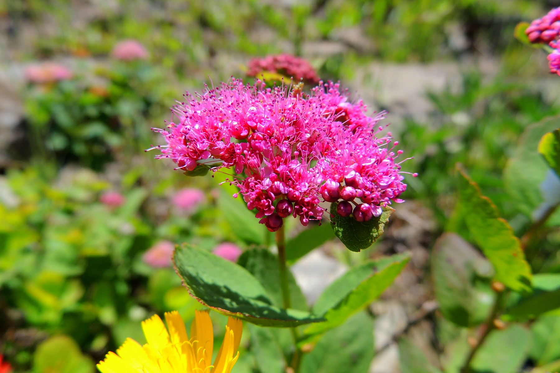
- Douglas spirea on Silver Star Trail: U.S. Forest Service — Pacific Northwest Region. Source; public domain as a U.S. federal government work. Edits: reframed from the high-resolution original to a 3:2 landscape format, lightly sharpened, and compressed.
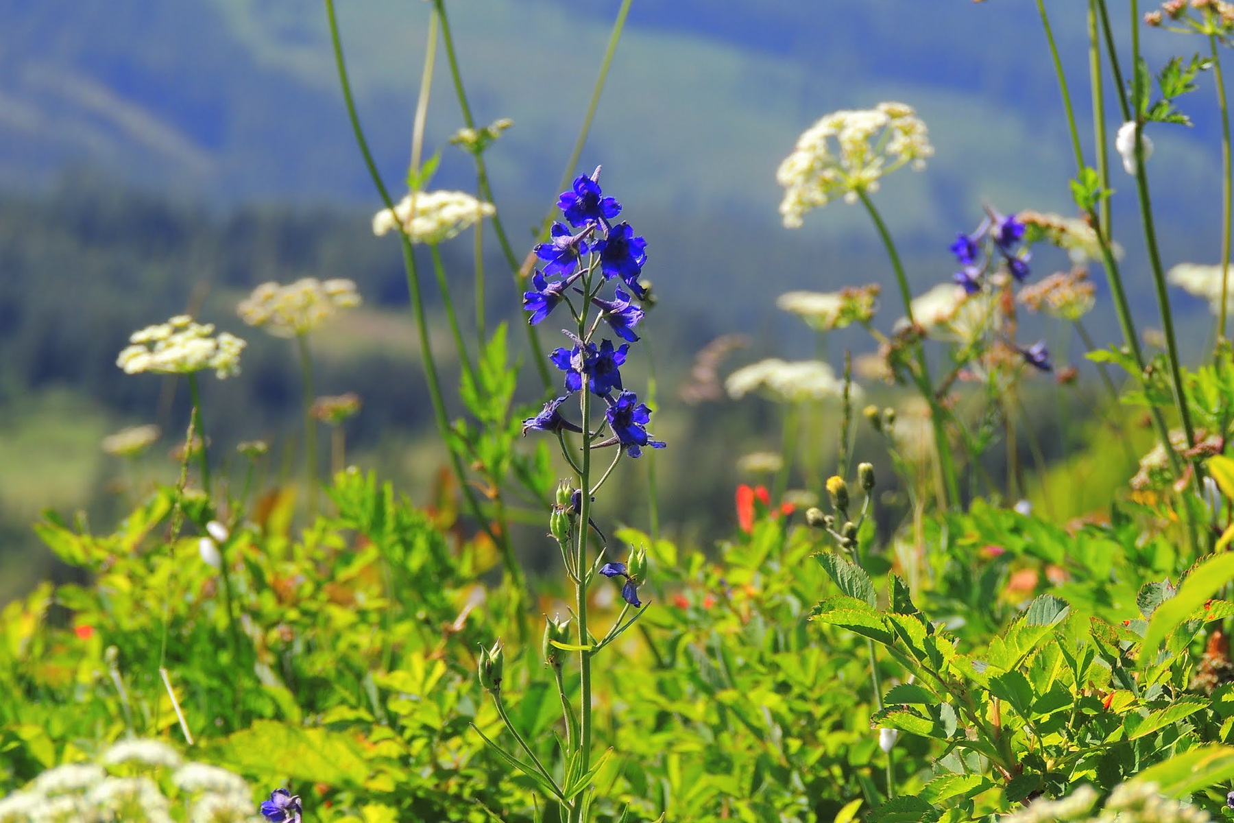
- Cow parsnip and lupine on Silver Star Trail: U.S. Forest Service — Pacific Northwest Region. Source; public domain as a U.S. federal government work. Edits: reframed from the high-resolution original to a 3:2 landscape format, lightly sharpened, and compressed.
- Route-availability graphic: Editorial team. Original synthesis based on the cited DNR and Forest Service records; proportionally reformatted on a 3:2 landscape canvas without removing content; not an official map, GPS track, closure order, or road-condition report; not to scale.