Dog Mountain Trail: Difficulty, Permits, and Wildflower Season
A guide to the 6.8-mile loop, nearly 2,800 feet of climbing, spring permits, exposed slopes, and the long descent.
We last checked the official sources on August 26, 2026. This guide is based on agency information and is not a firsthand trail report.
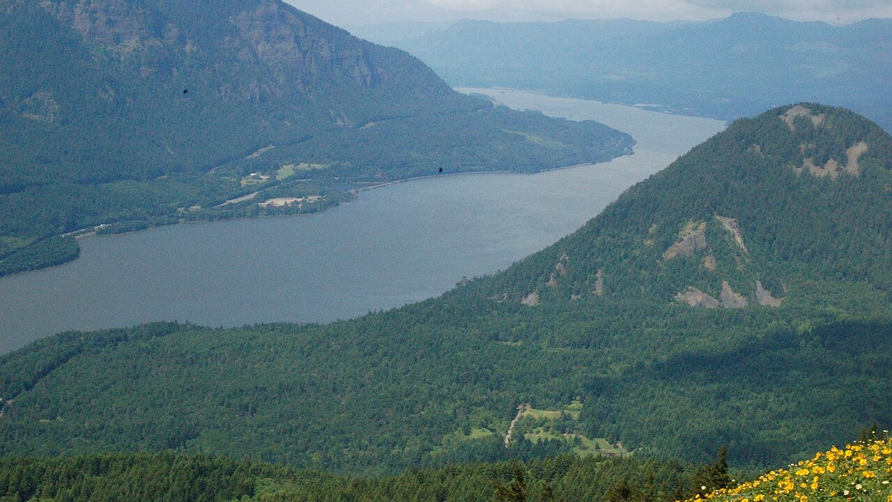
The summit area opens to broad Gorge views after a sustained climb of nearly 2,800 feet. Photo: Bball2468 – CC BY-SA 3.0
TRAIL UPDATE – The 2026 spring permit season ran on weekends from April 11 through June 7, plus Memorial Day. That window has ended, but the $5 trailhead fee still applies. Check the Forest Service page for current access and future permit dates.
Check before you go: Dog Mountain Trail #147 – 2026 Dog Mountain spring weekend permits – Columbia River Gorge alerts
How hard is Dog Mountain?
Dog Mountain is far more demanding than a casual wildflower walk. The Forest Service lists the Dog Mountain-Augspurger loop at 6.8 miles with 2,828 feet of elevation gain. The climbing is sustained, and the long descent comes after several hours on steep terrain.
|
Distance |
Elevation gain |
Typical effort |
Trailhead fee |
|---|---|---|---|
|
6.8-mile loop |
2,828 feet |
Strenuous, with a long descent |
$5 per vehicle or accepted recreation pass |
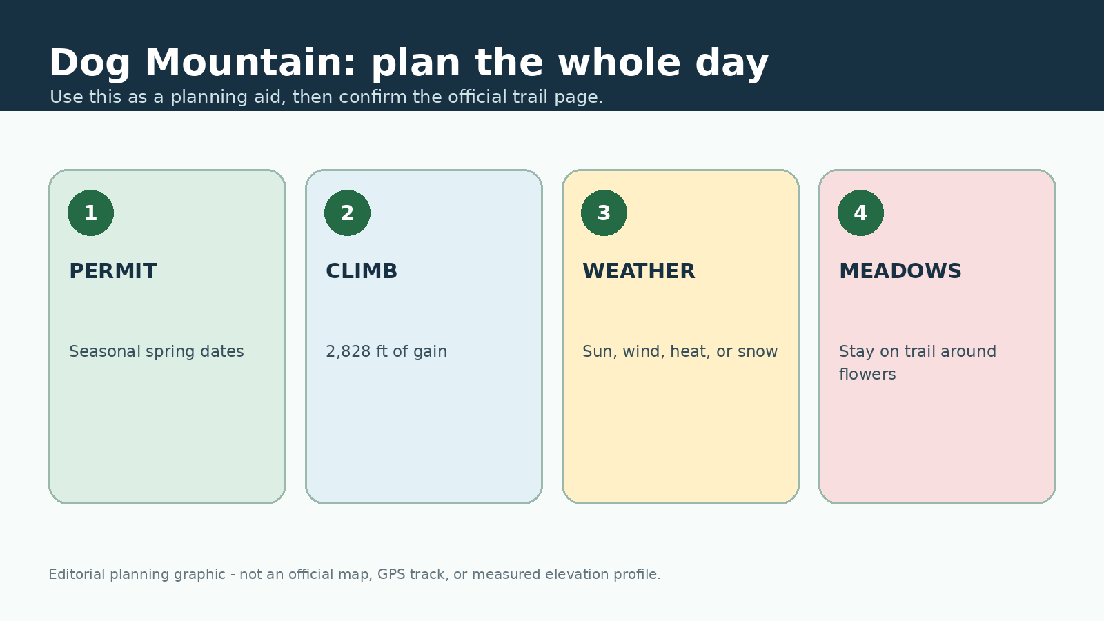
This original editorial graphic is meant only as a planning aid. It is not an official map, GPS track, or measured elevation profile.
What the climb is like
The lower trail climbs through forest to a junction with steeper and more gradual options. Both choices are demanding. Higher up, the trail crosses open slopes with wider views, more sun, and stronger wind.
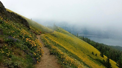
Open slopes bring the famous views, but they also increase exposure to sun, heat, and wind. Photo: USDA Forest Service Pacific Northwest Region – Public domain (U.S. federal government work)
Start at a pace you can hold for several hours, and eat and drink before you feel depleted. Choose a turnaround time that leaves plenty of daylight and energy for the descent. Trekking poles help some hikers, but they are no substitute for good footwear, steady pacing, and controlled downhill movement.
Spring permits and the day-use fee
In 2026, hiking permits were required on Saturdays and Sundays from April 11 through June 7 and on Memorial Day. The permit and the trailhead day-use fee were separate. Permit dates can change from year to year, so always use the current Forest Service announcement rather than relying on a previous season's calendar.
For how the reservation and trailhead fee differ from other Gorge requirements, see the Gorge parking and permit guide.
Parking is limited during peak bloom. If permits are required and you do not have one, choose another open trail instead of parking elsewhere and entering anyway. Check the alternative trail's access rules before you go.
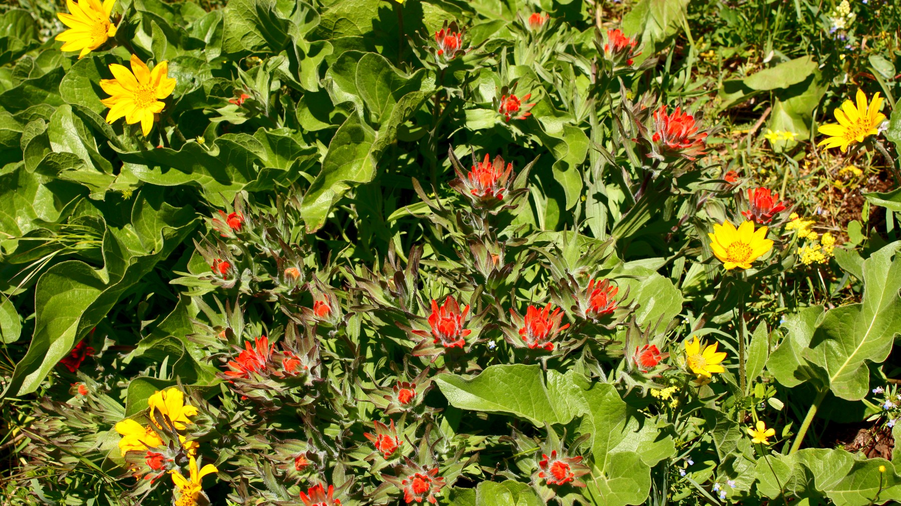
Spring wildflowers draw heavy use to Dog Mountain; stay on the established trail to protect the meadows. Photo: USDA Forest Service Pacific Northwest Region – Public domain (U.S. federal government work)
Weather, wildflowers, and trail care
Open slopes magnify sun, wind, and heat. Carry more water than you would for a shaded hike of the same mileage, along with sun protection and layers that are easy to reach. Spring mud can reduce traction; winter snow and ice can turn the route into a very different outing.
Stay on the established trail around wildflower meadows. Do not step into vegetation for a photograph, create a parallel path, or allow a dog to roam. Pack out all waste and follow current leash rules.
Who should choose another hike
Angel's Rest is a shorter, steep viewpoint hike, while Hamilton Mountain is another strenuous option on the Washington side. Before changing plans, check the weather, parking, and current closures for the new trail.
Frequently asked questions
How hard is Dog Mountain? The official loop is 6.8 miles with 2,828 feet of climbing. It requires sustained uphill effort and enough control for a long descent.
Do I need a permit? A seasonal permit is required on designated spring dates. The 2026 window has ended; check the Forest Service for future dates.
Is the hike worthwhile outside wildflower season? The route still offers broad Gorge views, but heat, wind, snow, fire conditions, or limited daylight may make another trail a better choice.
Sources and update notes
This guide is based on the public-agency pages linked below. We last checked access rules, fees, permits, fire restrictions, and closures on August 26, 2026. Check the relevant pages again before your trip. Mileage may vary with reroutes, side trips, turnaround points, and GPS methods. This is an independently researched guide, not a report from a recent hike.
- USDA Forest Service: Dog Mountain Trail #147
- USDA Forest Service: 2026 Dog Mountain spring weekend permits
- USDA Forest Service: Columbia River Gorge alerts
- USDA Forest Service: Columbia River Gorge passes