Wahclella Falls Trail: A Short Hike Through Tanner Creek Canyon
A 2.4-mile waterfall hike with a small parking lot, slick canyon surfaces, and added post-fire hazards during heavy rain.
We last checked the official sources on August 26, 2026. This guide is based on agency information and is not a firsthand trail report.
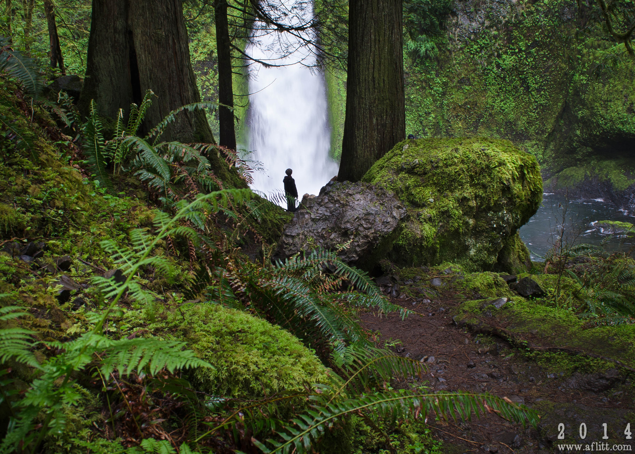
Wahclella Falls appears through moss-covered forest near the end of the trail. Photo: A. F. Litt – CC BY 3.0
TRAIL UPDATE – Wahclella Falls Trail #436 is listed as open. The Forest Service advises against hiking during or within 48 hours of heavy rain or snow because post-fire flash floods, falling trees, and landslides remain a concern.
Check before you go: Wahclella Falls Trail #436 – Columbia River Gorge alerts – Columbia River Gorge passes
Quick trail facts
|
Distance |
Trail type |
Fee |
Facilities |
|---|---|---|---|
|
2.4 miles round trip |
Out and back |
$5 per vehicle or accepted recreation pass |
Seasonal portable toilet; no potable water |
A short hike, but not always an easy one
Wahclella fits easily into a half day, and its grade is gentler than the Gorge's major viewpoint climbs. Even so, it is not a carefree stroll. Bridges, creek edges, slick rock, and a small turnaround area can feel crowded when several groups arrive at once.
Because the canyon burned in the past, heavy rain and rapid snowmelt can bring flash floods, falling trees, and debris. Check both the alert page and the recent weather before setting out. The short mileage does not remove those hazards.
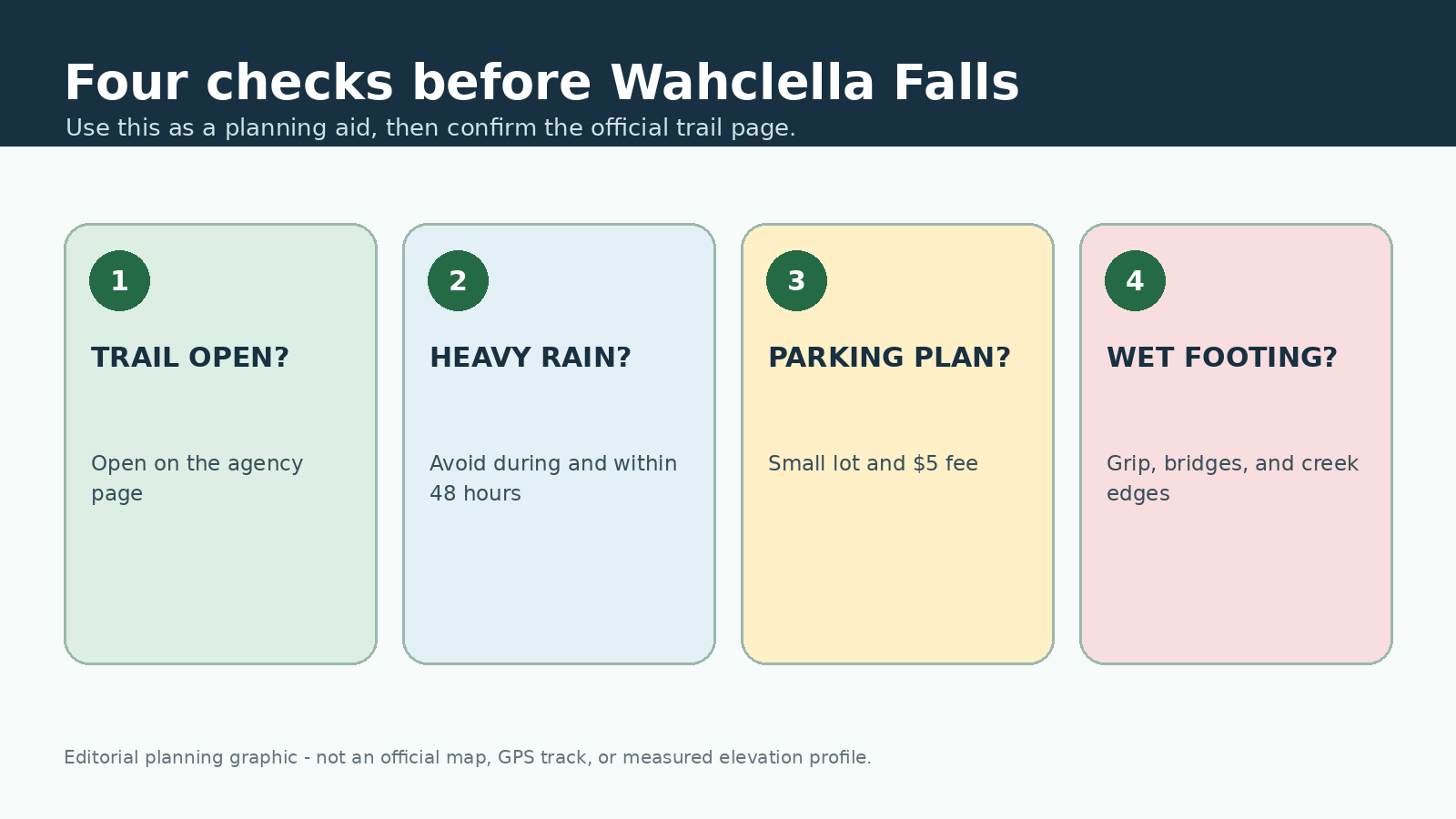
This original editorial graphic is meant only as a planning aid. It is not an official map, GPS track, or measured elevation profile.
From Tanner Creek to the falls
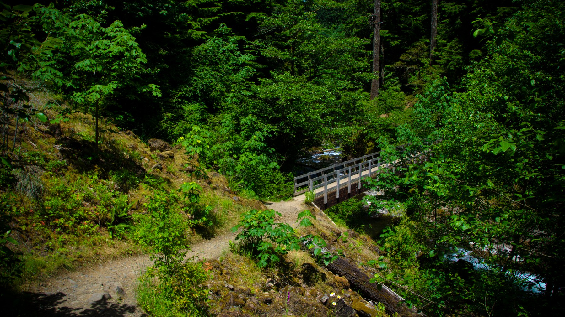
The trail begins on a gated road beside Tanner Creek and soon passes a small intake dam. As the canyon narrows, the route enters the Mark O. Hatfield Wilderness. A tributary waterfall appears near the first bridge, and the trail later divides into upper and lower sections before reaching the main falls.
At the end of the canyon, Wahclella Falls drops into a broad pool surrounded by rock. Spray keeps the area damp, and the main viewpoint can become crowded. Stay on the established trail, avoid scrambling on wet boulders, and leave enough room for other hikers to pass and turn around.
Parking, fees, and arrival time
The trailhead lot is small. A $5 day-use fee or valid recreation pass is required, and the Forest Service says cash and checks are not accepted at the trailhead. Buy a pass in advance or be prepared to use the posted QR payment method.
To compare this Forest Service fee with other Gorge parking rules, see the Gorge parking and permit guide.
If the lot is full, do not create a space along the access road. Choose another legal trailhead or return at a different time. Multnomah Falls and Latourell Falls are nearby alternatives, but each has its own parking and access rules.
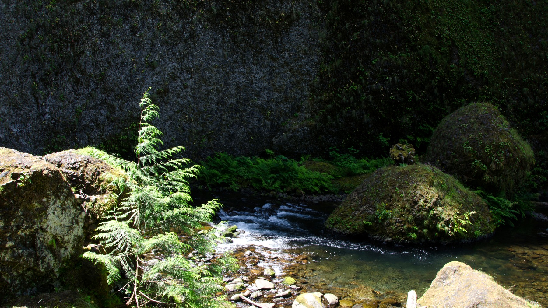
Much of the route stays close to Tanner Creek, so water level and recent weather matter even on this short hike. Photo: USDA Forest Service Pacific Northwest Region – Public domain (U.S. federal government work)
Families, dogs, and wet weather
Many families choose Wahclella because the distance is manageable. Children still need close supervision near bridges, moving water, and slick rock. Check the current dog rules on the Forest Service page, use a short leash where required, and choose a wider trail if your dog is uncomfortable passing people at close range.
Bring shoes with good grip, water, a rain layer, and an offline map. There is no potable water at the trailhead. In winter, ice can linger in shaded areas; in summer, fire restrictions may apply even when the canyon itself looks green.
Frequently asked questions
How long is Wahclella Falls Trail? The Forest Service lists the out-and-back hike at 2.4 miles.
Do I need a pass? Yes. The current page lists a $5 day-use fee per vehicle or a valid recreation pass.
Is it a good rainy-day hike? Light rain is common in the Gorge, but the Forest Service advises against hiking during or within 48 hours of heavy rain or snow.
Sources and update notes
This guide is based on the public-agency pages linked below. We last checked access rules, fees, permits, fire restrictions, and closures on August 26, 2026. Check the relevant pages again before your trip. Mileage may vary with reroutes, side trips, turnaround points, and GPS methods. This is an independently researched guide, not a report from a recent hike.
- USDA Forest Service: Wahclella Falls Trail #436
- USDA Forest Service: Columbia River Gorge alerts
- USDA Forest Service: Columbia River Gorge passes
- USDA Forest Service: permits for popular Gorge sites