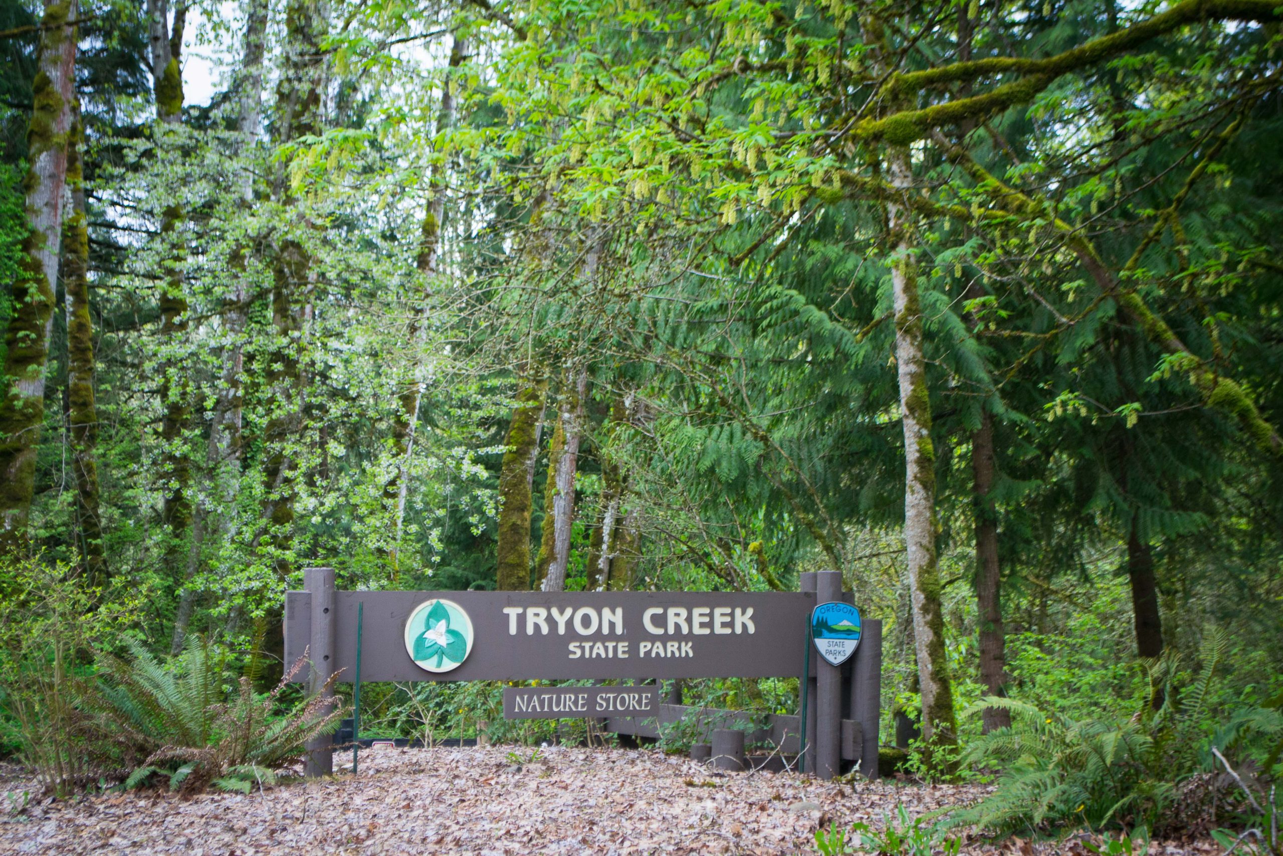
Tryon Creek State Natural Area, commonly called Tryon Creek State Park, offers several short forest walks between Portland and Lake Oswego. The best option depends on whether you want a paved path or a natural-surface loop. This guide compares three walks from the Nature Center and explains bridge-access uncertainty, parking fees, transit access, and trail rules that may affect your visit.
Status checked September 29, 2026: A Red Fox Bridge closure was documented on September 3, but that notice is no longer on the park’s current notice list. Its absence does not confirm the bridge has reopened. Do not rely on a route crossing Red Fox Bridge until park staff or current on-site signs confirm access. Restroom upgrades may cause periodic closures through October 31.
Three Walks from the Nature Center
All three options start near the Nature Center. Trillium Trail is the shortest and only fully paved choice; the other two are natural-surface loops listed in the park’s official trail guide.
| Walk | Published distance | Trail details | A good fit when |
|---|---|---|---|
| Trillium Trail | 0.3 mile | Fully paved; maximum 3.2% slope; benches, turnaround areas, and occasional root bumps | You want the shortest option and need clear surface and slope details |
| Maple Ridge–Middle Creek Loop | About 1.2 miles | Natural-surface trails with a descent toward the creek and a return climb | You prefer a short forest loop to a paved path |
| Maple Ridge–Center–Big Fir Loop | About 1.4 miles | A natural-surface combination of several short trails near the Nature Center | You are comfortable following several signed trail connections |
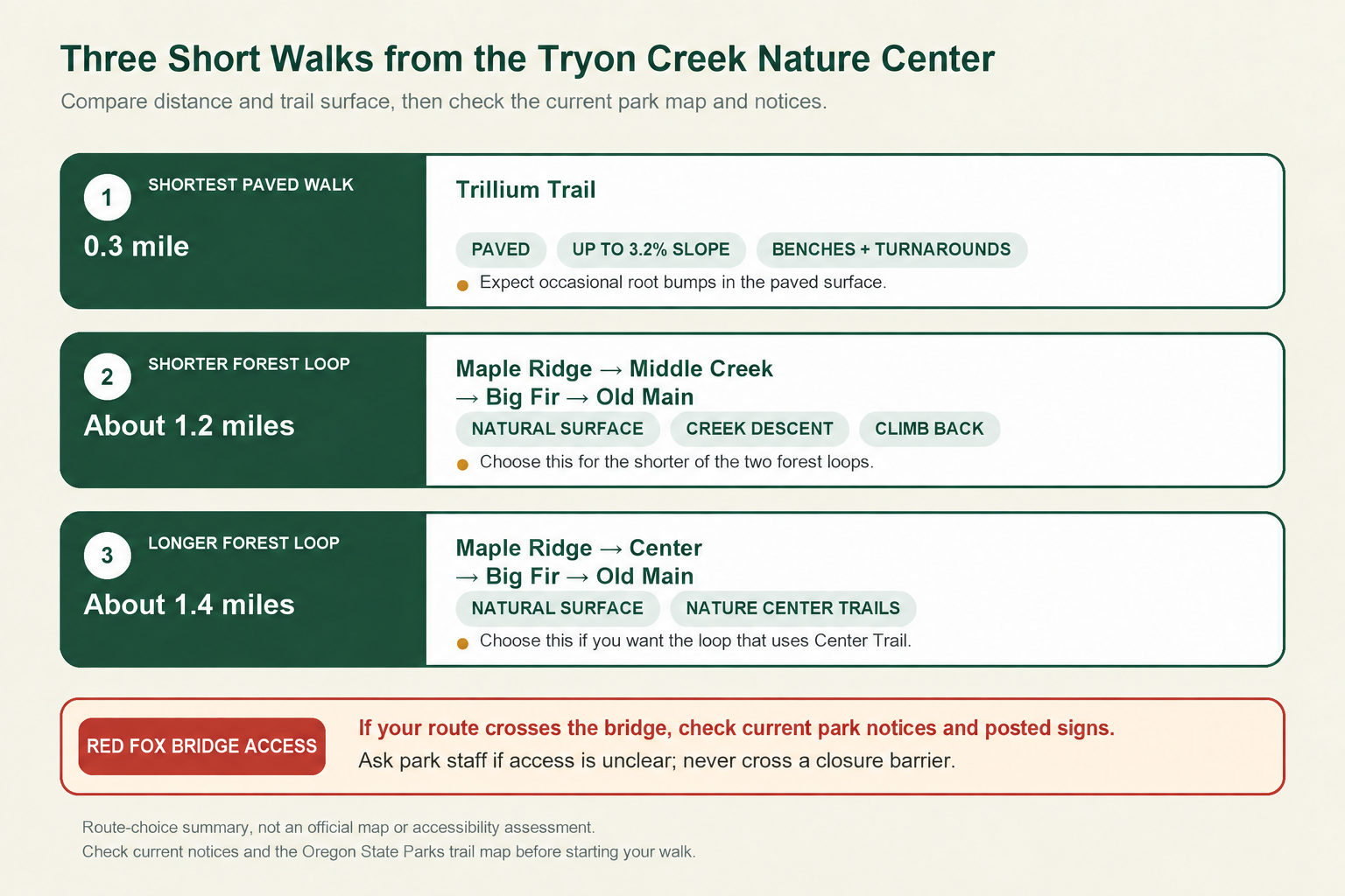
The distances and trail sequences come from Oregon State Parks materials, but they do not guarantee that every segment will be open or dry when you arrive. Check the current park notice, carry the official trail map, and follow posted signs.
Trillium Trail
Trillium Trail has the clearest published surface and slope details of the three walks. Oregon State Parks describes it as a 0.3-mile, fully paved trail that is about 6 feet wide, with a maximum slope of 3.2%. Benches and turnaround areas are available along the path.
Pavement does not make the trail obstacle-free. Tree roots have created occasional bumps. Visitors using wheelchairs, walkers, or strollers can use the park’s width, slope, and surface details to decide whether the route meets their needs rather than relying on a blanket accessibility label.
Maple Ridge–Middle Creek Loop
The park’s 2017 trail guide lists a roughly 1.2-mile loop using Maple Ridge, Middle Creek, Big Fir, and Old Main trails. This published sequence does not use Red Fox Trail.
Although it is short, the loop is not flat. The park’s older official guide notes that walks from the Nature Center down toward the creek involve about 125 feet of elevation change. That figure describes the general descent toward the creek, not this loop’s total elevation gain. Wet weather can also leave the hiking trails muddy.
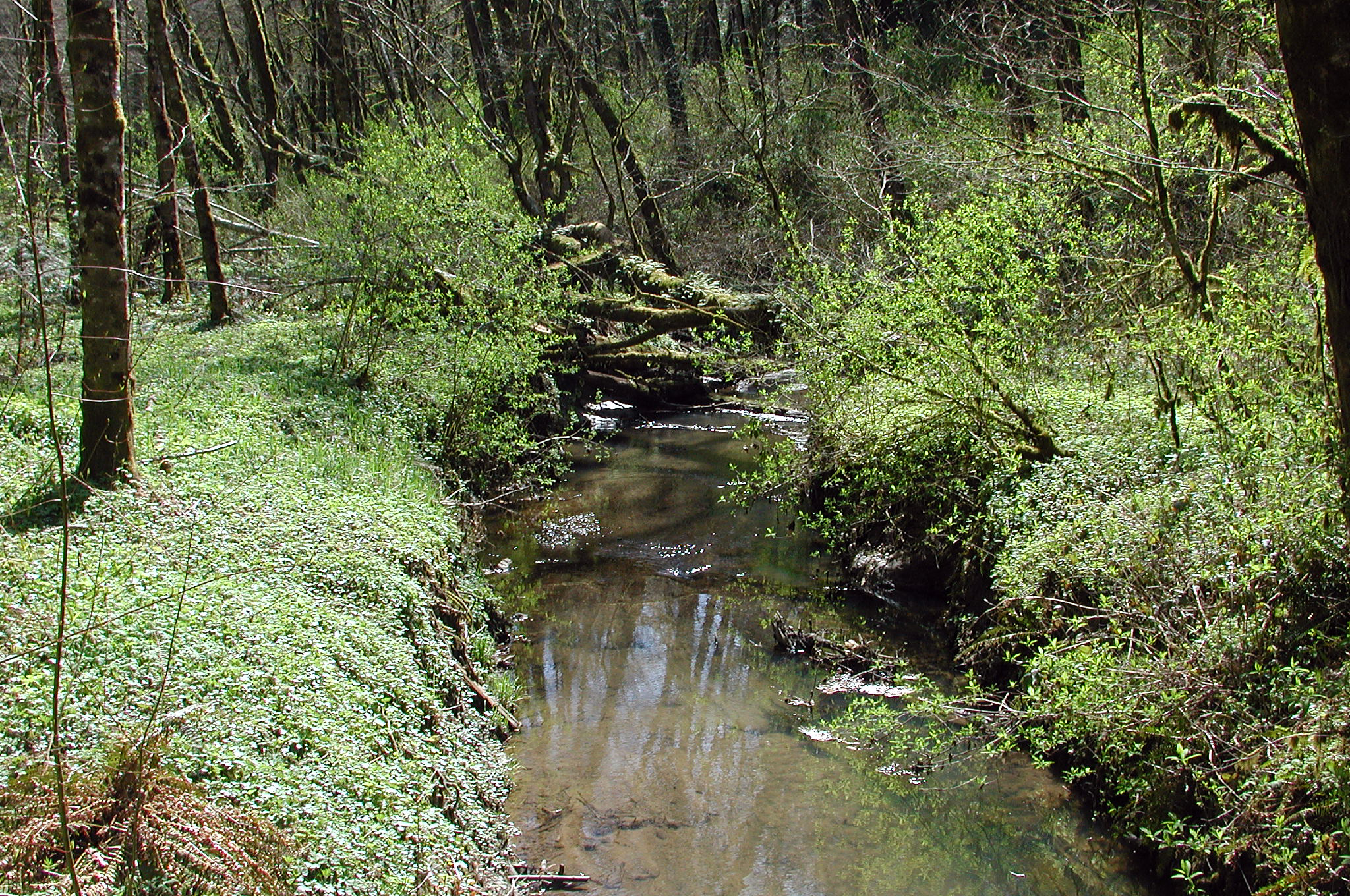
Use the current official map and trail signs to follow the sequence. Do not rely on this page as a substitute for navigation or as confirmation that every connection is open.
Maple Ridge–Center–Big Fir Loop
The second forest option follows Maple Ridge, Center, Big Fir, and Old Main trails for a published distance of about 1.4 miles. Like the shorter loop, this sequence does not use Red Fox Trail.
This option combines a different set of short trails near the Nature Center. Its main documented difference is the trail sequence. The official sources do not say that one forest loop is easier, quieter, or more scenic than the other. Expect natural surfaces, possible mud, and several junctions that require attention to the current map and posted signs.
Check Red Fox Bridge Access Before a Longer Route
Oregon State Parks previously reported that Red Fox Bridge was closed, with no through access. That advisory does not appear among the park’s notices reviewed September 29, 2026, but the current pages do not explicitly say the bridge has reopened. Treat access as unconfirmed until park staff or posted signs resolve it; never cross a barricade.
The park’s older trail guide includes two suggested outings that use Red Fox Trail: a 2-mile loop through Cedar, Middle Creek, and Maple Ridge, and a 2.8-mile round trip toward Iron Mountain. Neither is included as a current recommendation here because the bridge’s present access status is unconfirmed.
While Red Fox Bridge access remains unconfirmed:
- Choose one of the three short walks described above.
- Check the park profile and official map again before leaving.
- Follow current signs rather than an older route description.
- Do not cross a barricade or improvise a path around a bridge marked closed.
The two short forest loops described above do not use Red Fox Trail. Check the current park map and signs for any other trail changes before you start.
Arriving by Car, Bus, or Bicycle
Tryon Creek State Natural Area is at 11321 S. Terwilliger Boulevard in Portland. Start near the Nature Center for any of the three walks covered here.
Driving and the Day-Use Parking Permit
A day-use parking permit is required for vehicles. As checked September 29, 2026, the daily fee is $10 per vehicle for Oregon residents and $12 for non-residents. Oregon State Parks lists 12-month permits at $60 for Oregon residents and $75 for non-residents. You can buy a one-day permit at the park or purchase one online for same-day use.
The permit pays for parking; it does not reserve a space or guarantee availability. Oregon State Parks describes parking as limited in its event guidance but does not state how many spaces are available.
Visitors who arrive on foot, by bike, by bus, or as passengers do not pay the parking fee.
Taking TriMet Route 35
TriMet Route 35–Macadam/Greeley serves the stop named “S Terwilliger & Tryon Creek State Park Entrance.” TriMet publishes weekday, Saturday, and Sunday schedules, but trip times and service alerts can change. Check the trip planner, return schedule, and current alerts before leaving rather than relying on a timetable quoted in a trail guide.
Using the Paved Bicycle Path
A 3-mile paved bicycle path follows the park’s eastern edge, roughly parallel to Terwilliger Boulevard. It runs between Boones Ferry Road and State Street, or Oregon Highway 43, in Lake Oswego. The path provides a way to reach the park by bike, but it is separate from the hiking-trail network. The natural-surface hiking trails remain closed to bicycles.
Trail Rules for Hikers, Horseback Riders, and Cyclists
Tryon Creek has separate routes for different uses. Oregon State Parks lists 8 miles of hiking trails, 3.5 miles of packed-gravel equestrian trails, and a 3-mile paved bicycle path. Use the official map and posted signs to stay on the appropriate route.
Hikers should stay on marked trails and avoid shortcuts, which damage vegetation and increase erosion. Cyclists should remain on the paved bike path or in parking areas rather than entering hiking trails. Horseback riders should use the designated horse trails. Do not remove plants; fires are not permitted in the natural area.
Bringing a Dog
Oregon State Parks requires pets to be physically restrained or on a leash no longer than 6 feet, except in a designated off-leash area. Keep dogs leashed at Tryon Creek: the official visitor information reviewed on September 29, 2026, did not identify an off-leash area in the park. Handlers must pick up pet waste, and the park’s trail guide asks visitors to keep pets out of the creek.
Dog rules vary across Portland-area parks and the Columbia River Gorge, so do not assume another destination’s policy applies here. Check current signs for any additional restriction on a trail or sensitive area.
How Wet Weather Affects the Natural-Surface Trails
The park maintains its hiking trails for year-round use, but Oregon State Parks warns that wet weather can make them muddy. The two forest loops have natural surfaces, so recent rain may reduce traction and make the descent toward the creek—and the climb back—feel more demanding than the mileage suggests.
Trillium Trail avoids the natural-surface mud, but its pavement has occasional root bumps. A paved path should not be treated as obstacle-free.
Before choosing a route, check current park notices and consider recent weather. Oregon State Parks does not provide live information about mud, parking availability, bridge conditions, or crowding. Choose the paved trail or postpone your walk if the conditions do not suit your group.
Park Hours and Nature Center Facilities
Oregon State Parks lists the natural area as open for day use year-round, with seasonal closing times:
| Months | Park hours |
|---|---|
| November–February | 7 a.m.–6 p.m. |
| March | 7 a.m.–7 p.m. |
| April | 7 a.m.–8 p.m. |
| May–August | 7 a.m.–9 p.m. |
| September | 7 a.m.–8 p.m. |
| October | 7 a.m.–7 p.m. |
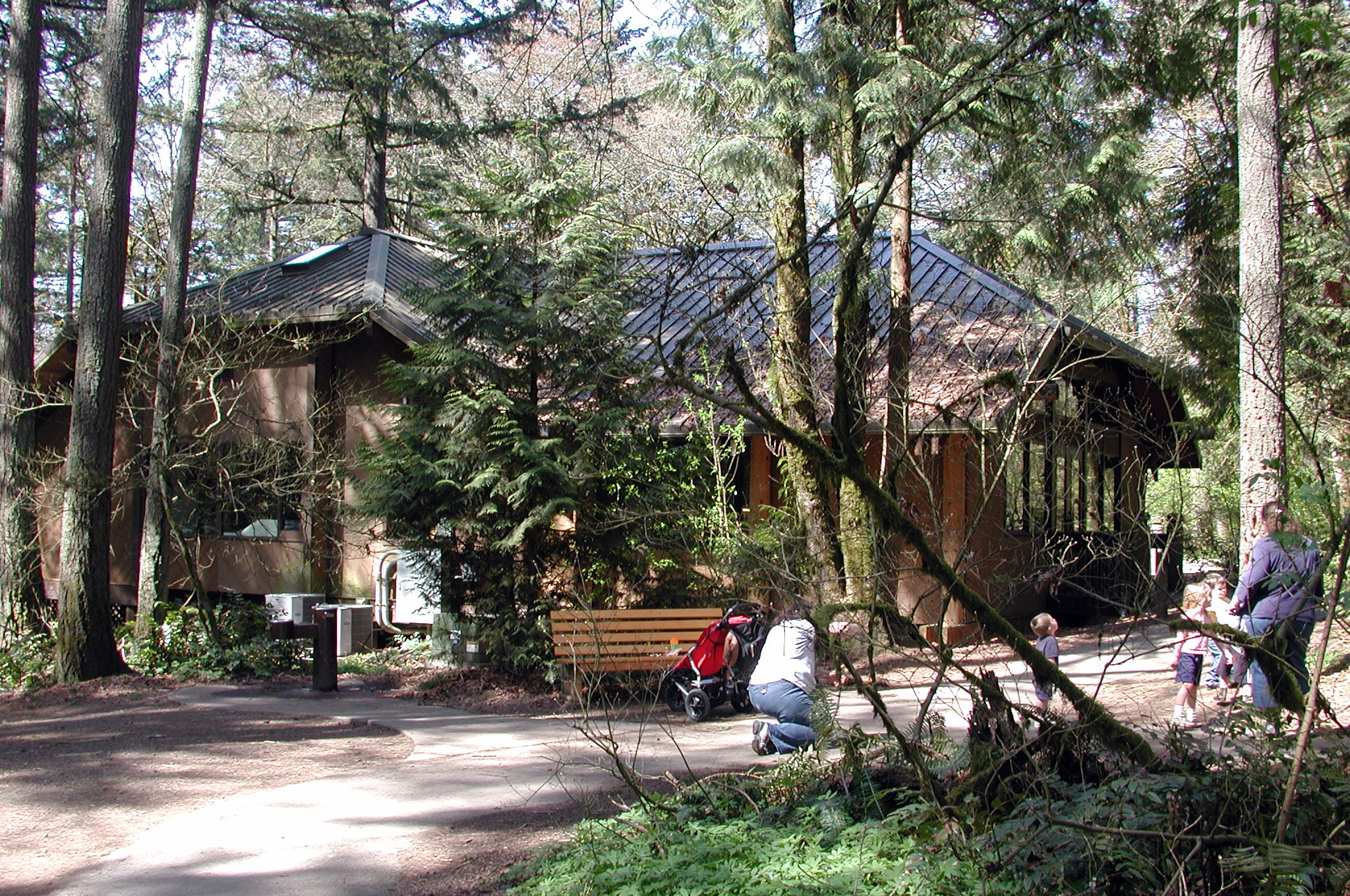
The Nature Center is currently listed as open daily from 9 a.m. to 4 p.m. The park profile lists accessible flush restrooms, but its current construction advisory says restrooms may close periodically through October 31, 2026. It says at least one flush toilet will remain available and portable toilets will be provided in the main parking lot. Hours and temporary closures can change. If your visit depends on the Nature Center or an open restroom, confirm the current information before leaving.
Oregon State Parks’ current visitor information does not confirm drinking-water availability. Bring the water you expect to need rather than assuming it will be available on site.
When Forest Park or Pittock Mansion Is a Better Fit
Tryon Creek works well when you want a short forest walk with several short routes from one starting area. If you want a larger trail system or a destination climb, compare these nearby alternatives.
Forest Park
Forest Park offers a much larger trail system with more starting points and route combinations. Use the Forest Park guide if you want more trailheads and a longer urban-forest route.
Pittock Mansion
The Lower Macleay–Pittock Mansion route involves substantially more climbing and ends at a specific destination. Consider it when reaching Pittock Mansion appeals more than choosing a short loop near the Nature Center.
More Hikes Near Portland
The Portland-area roundup compares Tryon Creek with waterfalls, viewpoints, river walks, and forest routes across a wider region. Use that guide if you have not yet chosen a destination.
Related Guides
Official Sources
- Tryon Creek Park Notices — Oregon State Parks
- Tryon Creek State Natural Area — Oregon State Parks
- Tryon Creek Trail Map — Oregon State Parks
- Tryon Creek Trail Guide — Oregon State Parks
- Day-Use Parking Permits — Oregon State Parks
- Oregon State Parks Pet Guidance
- TriMet Route 35–Macadam/Greeley
Photo and Graphic Credits
- Entrance photograph: Visitor7 · source · CC BY-SA 3.0 · unmodified original
- Creek photograph: Finetooth · source · CC BY-SA 3.0 · unmodified original
- Nature Center photograph: Finetooth · source · CC BY-SA 3.0 · unmodified original
- Route-choice graphic: Original editorial synthesis based on Oregon State Parks trail materials.