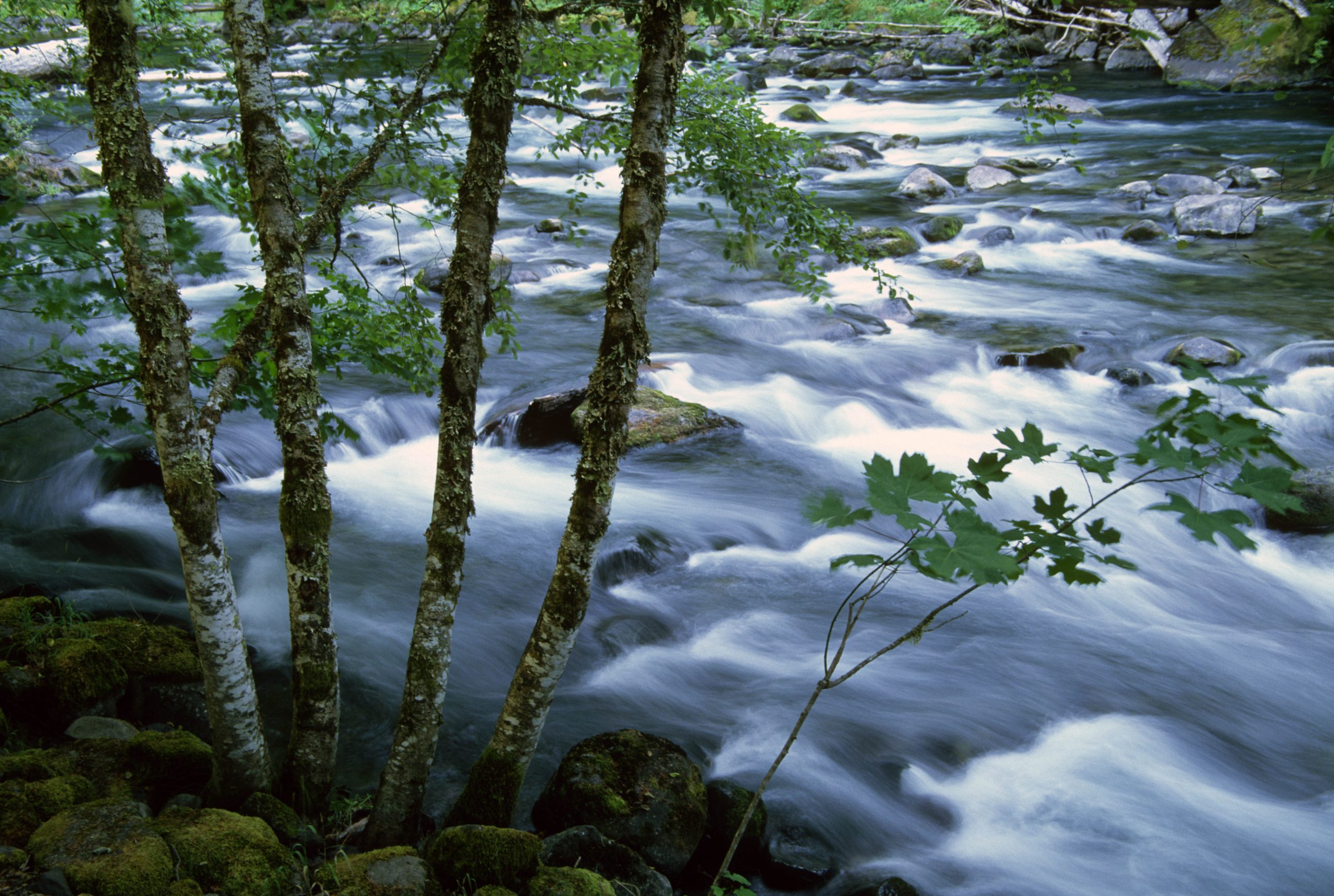
Two official trails along Oregon’s Salmon River have nearly identical names but offer very different outings. Old Salmon River Trail #742A is a short riverside walk; Salmon River Trail #742 is a long wilderness route. Check the trail number before relying on any distance, trailhead, or permit information.
Status checked September 29, 2026: The current Forest Service page warns that some December-storm damage remains on Old Salmon River Trail #742A. On Salmon River Trail #742, a trail bridge 0.25 mile from the east trailhead is closed. Do not plan to cross at that bridge without confirming a safe, legal alternative with the Forest Service; high water can make a creek crossing dangerous. Recheck both trail pages, forest alerts, parking fees, and permit rules before travel.
First, Check the Trail Number
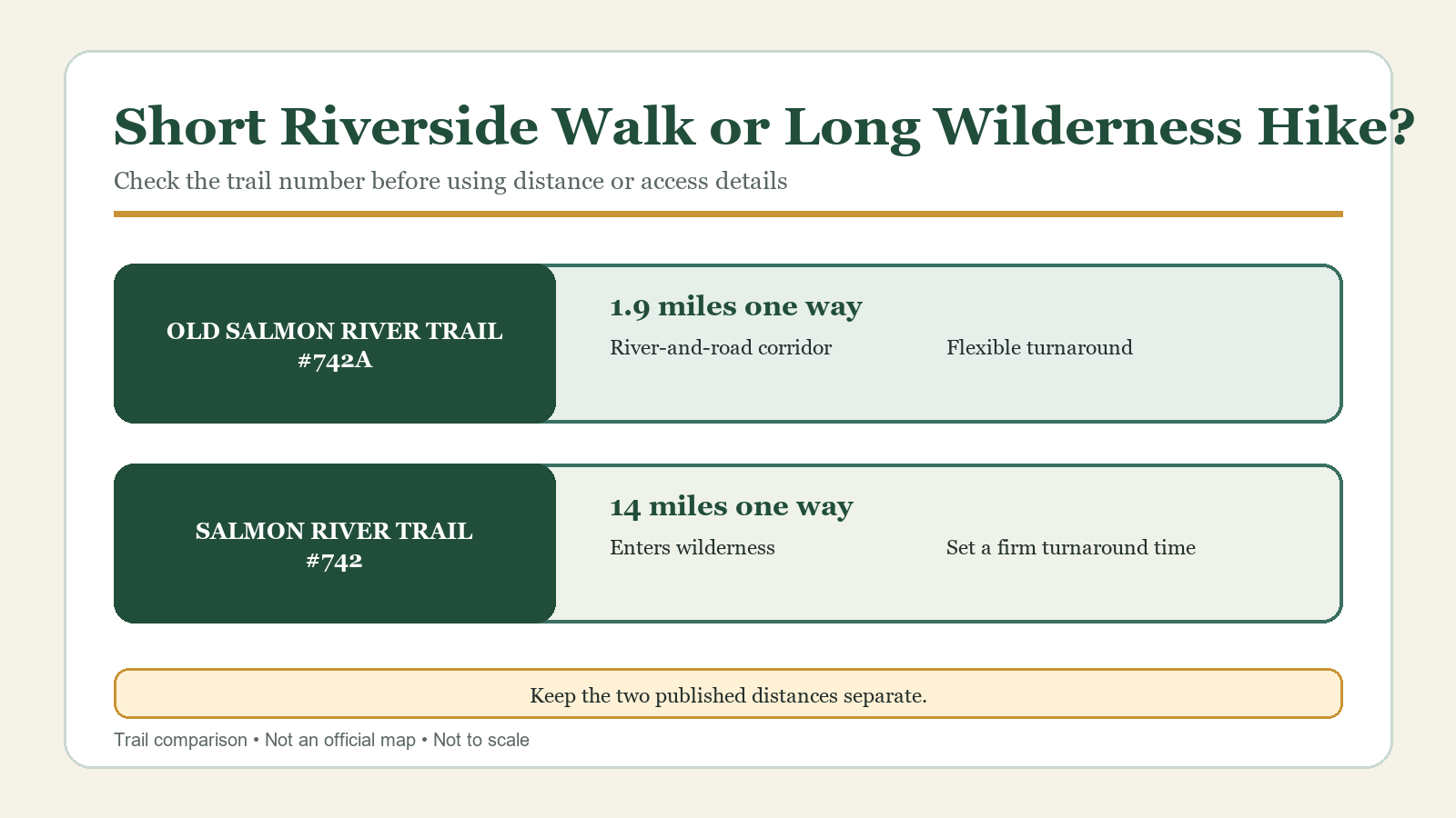
The simplest way to avoid a planning mistake is to check the official trail number. Old Salmon River Trail is #742A. Salmon River Trail is #742. The trails are in the same area, but their published distances, settings, and required effort are not interchangeable.
| Route | Official distance | Setting | What to expect |
|---|---|---|---|
| Old Salmon River Trail #742A | 1.9 miles one way | River-and-road corridor | Short out-and-back with flexible turnaround points |
| Salmon River Trail #742 | 14 miles one way | River canyon and Salmon-Huckleberry Wilderness | Long route best planned with a firm turnaround time |
The Forest Service labels both routes “More Difficult.” That shared label does not make them equally demanding. #742A gains only about 100 feet across its published elevation range, while #742 spans roughly 1,800 feet and continues deep into a wilderness setting.
Old Salmon River Trail #742A: A Shorter Riverside Walk
The official guide lists Old Salmon River Trail at 1.9 miles one way, with elevations from approximately 1,450 to 1,550 feet. It parallels both the Salmon River and the road, crosses several small creeks on bridges, and reaches the road twice. The route is described as relatively flat except for a short hill at each end.
That makes #742A easier to tailor to the time available. You can turn around when the group has had enough rather than treating 3.8 miles round trip as mandatory. The road remains nearby, so this is not a secluded wilderness experience even when the trees and river create a quieter setting. The Forest Service currently warns that some damage from December storms remains. Expect uneven or damaged sections, use caution, and turn back if a bridge or tread is unsafe.
Who Should Choose #742A
Choose Old Salmon River Trail when you want a riverside forest walk with flexible turnaround options, have limited time, or do not want to commit to wilderness travel. The official difficulty label still deserves respect: short hills, wet bridges, roots, mud, and creek crossings can matter more than the modest elevation range suggests.
Stay on the route when it approaches the road, and do not assume every pullout is legal parking. Use the official access information and posted signs rather than following an app to an informal shoulder.
Salmon River Trail #742: A Long Wilderness Route
The Forest Service lists Salmon River Trail at 14 miles one way, from about 1,600 to 3,400 feet in elevation. It follows the north side of the river, enters the Salmon-Huckleberry Wilderness, and includes steeper sections despite a generally gradual profile.
The Forest Service reports a closed bridge 0.25 mile from Salmon River East Trailhead. Its page mentions wading as a possible passage, but water depth and flow can change; do not treat that as a routine bypass or cross when conditions are uncertain. The west-end approach avoids relying on this east-end crossing, subject to current access notices. For most day hikers, the practical question is how far to go before turning back, not whether to cover the full 14 miles one way. Choose a turnaround time before starting, allow for slower travel on wet or uneven tread, and turn back on schedule even if a map label appears close.
Why the West Trailhead Matters
The older Forest Service guide recommends access from the west end, and Recreation.gov identifies Salmon River West Trailhead as an access point for #742. Recreation.gov lists space for about ten midsize vehicles, a small capacity for a well-known route. Arrive with a legal backup plan, and never wait in a traffic lane or create a parking space on the shoulder.
The same listing describes a toilet, picnic table, interpretive sign, and garbage service during a stated seasonal window. Treat those amenities as changeable. Bring what you need even if a listing says a facility should be available.
Keep the Two Trail Distances Separate
Online descriptions sometimes use “Salmon River Trail” as a catchall for several outings in the corridor. That can produce a distance that belongs to neither official route. Before saving a map or sharing the plan with your group, check three details:
1. Does the route name include #742 or #742A?
2. Which trailhead is named?
3. Is the distance one way or round trip?
This guide does not give an exact connection point or a standard combined itinerary because the official materials reviewed do not define one. If you intend to connect the routes, use the current Forest Service map and confirm the connection on signs at the trail.
Check Current Pass and Wilderness Permit Requirements
As checked September 29, 2026, the current Forest Service page requires a valid recreation pass at Salmon River West Trailhead from May 1 through October 31. The Old Salmon River Trailhead page lists a $5 per-vehicle day-use fee, but gives inconsistent season dates in two fields. Do not rely on the older route sheets for current fee or permit timing; confirm the posted requirement or ask the Zigzag Ranger District.
The current trail page identifies Salmon-Huckleberry Wilderness restrictions but does not settle a separate wilderness-registration requirement in the information reviewed. Ask the Forest Service before entering the wilderness if that requirement affects your trip. Parking passes and any wilderness authorization are separate; one does not automatically satisfy the other. Recheck the official trail pages and trailhead signs before departure.
River, Weather, and Trail Hazards
Enjoy the river from a safe distance. Swift or cold water, unstable banks, and submerged obstacles can pose risks even beside an otherwise quiet trail. Keep children and dogs under control near the water and follow posted restrictions.
Wet seasons can bring mud, slick bridges, falling limbs, and higher creek flow. In warmer weather, carry enough water and watch for wildfire restrictions, smoke, and heat. Cell coverage is not confirmed along the route, so save official maps before arrival and share your route and turnaround time with someone who is not hiking.
How to Choose Between Trail #742A and Trail #742
Choose Old Salmon River Trail #742A for a shorter, flexible riverside walk where turning around early still makes for a worthwhile outing. Expect proximity to the road and a few short hills rather than a remote wilderness day.
Choose Salmon River Trail #742 when the group wants a longer forest route, understands that the official trail extends 14 miles one way, and is prepared to use a conservative turnaround plan. Confirm all wilderness and parking requirements before starting.
If the group cannot agree on the route number, trailhead, and one-way versus round-trip distance, the plan is not ready yet.
Related Guides
- Best Hikes on Mount Hood
- Ramona Falls Trail Guide
- McNeil Point Trail Guide
- Columbia River Gorge Hiking Seasons, Weather, and Closures
Official Sources
- U.S. Forest Service: current Salmon River Trail #742 page
- U.S. Forest Service: current Old Salmon River Trail #742A page
- U.S. Forest Service: Old Salmon River Trailhead fees and facilities
- U.S. Forest Service: Salmon River Trail #742 route guide
- U.S. Forest Service: Old Salmon River Trail #742A route guide
- Recreation.gov: Salmon River West Trailhead
- Mount Hood National Forest recreation information
- U.S. Forest Service Pacific Northwest passes and permits
Photo and Graphic Credits
- Salmon River in Mount Hood National Forest: U.S. Forest Service Pacific Northwest Region, Wikimedia Commons, public domain.
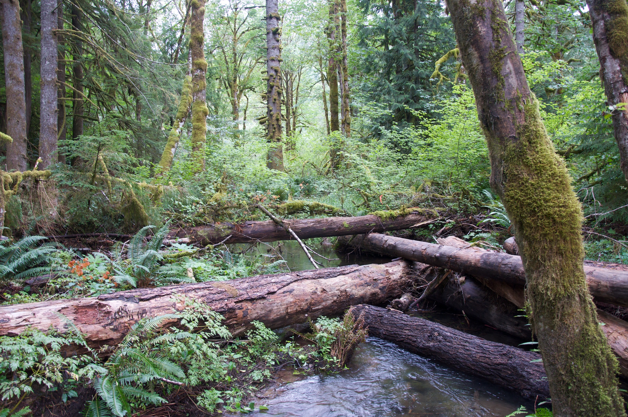
- Salmon River side channel: Sam Beebe/Ecotrust, Wikimedia Commons, CC BY-SA 3.0.
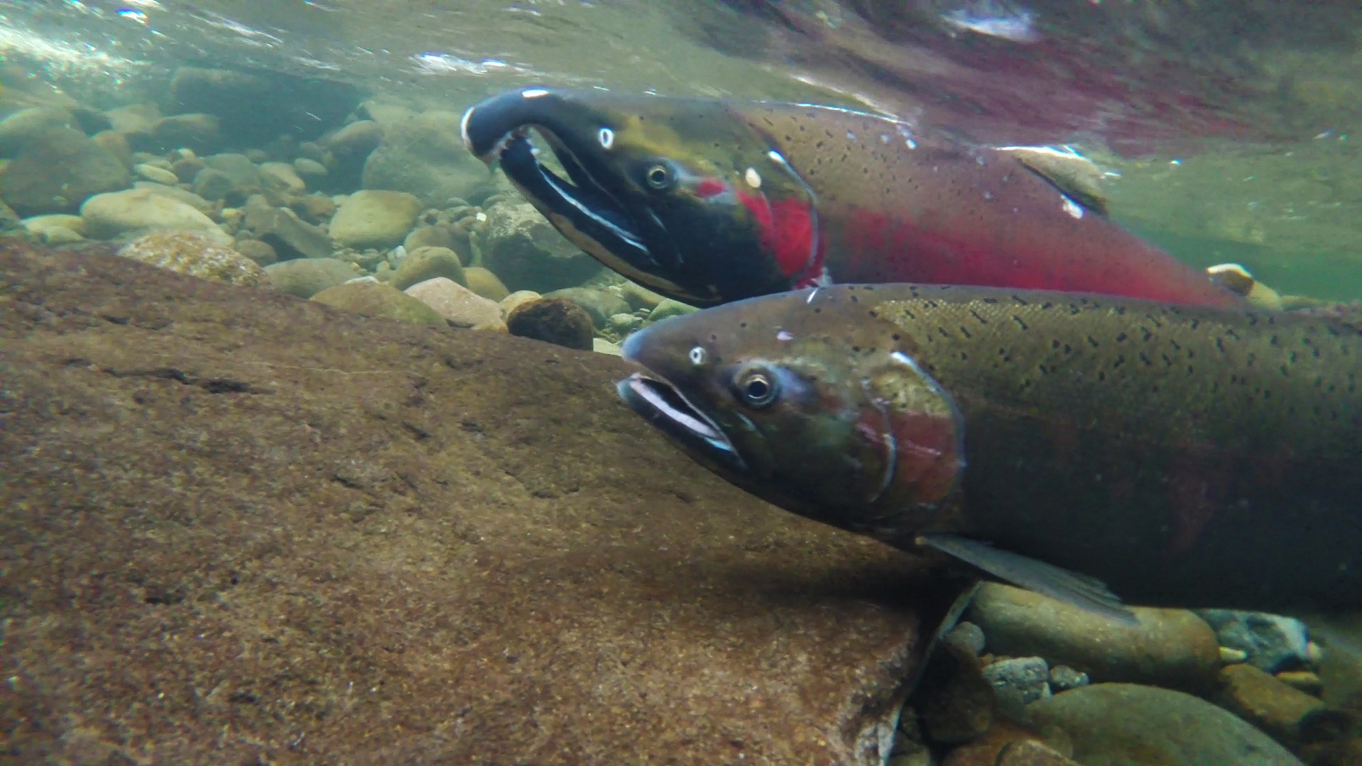
- Coho salmon in the Salmon River: Bureau of Land Management, Wikimedia Commons, public domain in the United States; also CC BY 2.0.
- Short walk or wilderness route: original Cascadia Hike Guide editorial graphic based on the official sources above; not an official map and not to scale.