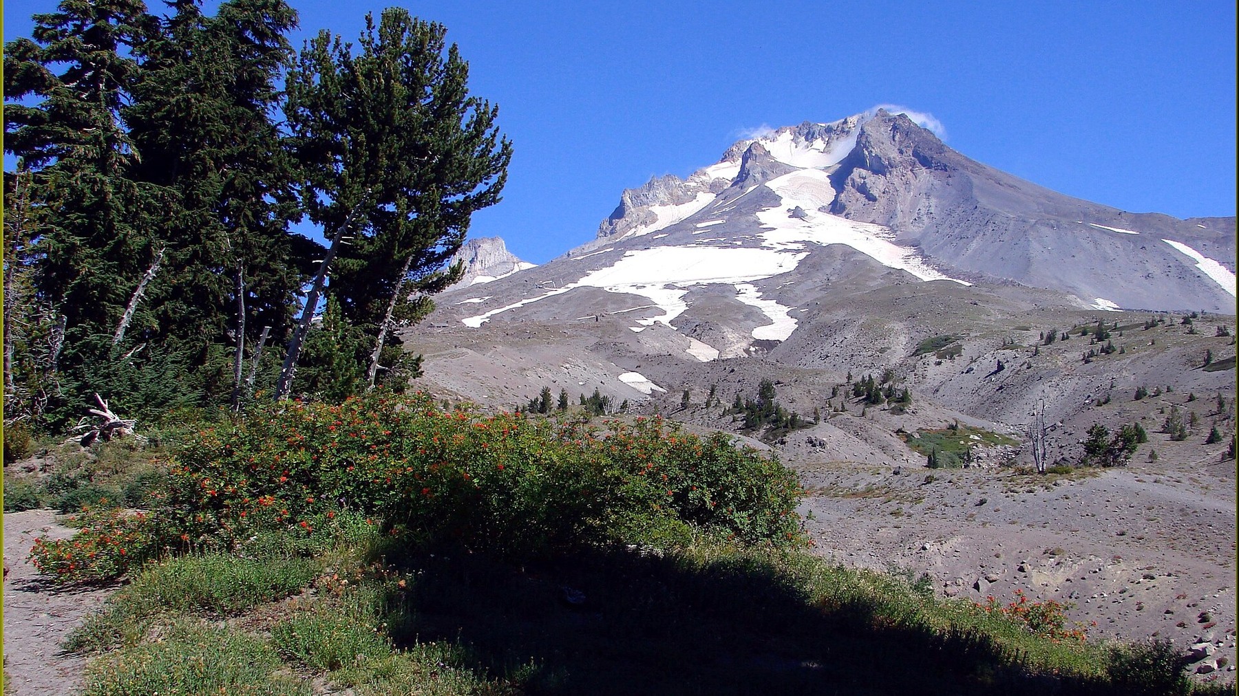
Best Hikes on Mount Hood: A Conditions-First Guide
Check current closures and hazards first, then choose the scenery. This guide separates routes that may still be viable from those affected by the Grasshopper Fire closure.
Research-based editorial guide · Official access status checked August 24, 2026 · No claim of a personal hike or firsthand test
TRAIL STATUS — Tamanawas Falls Trail was listed as open by the Forest Service on September 23, 2026, following a temporary washout repair. The current Grasshopper Fire order leaves this trail open but closes nearby areas. Check the trailhead page, closure map and current fire restrictions before travel.
Start with current trail status
A useful list of Mount Hood hikes cannot be a permanent ranking. Elevation, snowpack, road gates, wildfire, smoke and river flow can change the answer faster than search results update. A route belongs on the shortlist only after its official alert, trailhead page and access road have been checked. The recommendations below are editorial guidance, not a promise that every trail is open or safe on every date.
The Grasshopper Fire order closes some east-side areas, but explicitly leaves Tamanawas Falls Trail open. The Forest Service trailhead page also warns of slides and loose rock after a temporary washout repair. These details were checked September 23, 2026; use the current trailhead page and closure map for the exact route before leaving.
Choose a hike by area and access conditions
Conditions on the south and west sides can differ sharply from those on the east side. Mirror Lake, Tom Dick and Harry Mountain, Trillium Lake and Ramona Falls are not covered by a separate east-side closure simply because they are on the same mountain. Each route still needs its own current-status check. Making that distinction avoids both recommending a closed trail and incorrectly treating the entire mountain as unavailable.
Use Hood River or Government Camp as orientation points, not as proof that a trail is open. Nearby routes may use different roads, parking fees, wilderness rules or hazard alerts. Plan around the exact trailhead and route pages rather than the weather icon for the nearest town.
A practical shortlist, not a permanent ranking
|
Field |
What to know now |
|---|---|
|
Best first filter |
Current closure, fire, smoke, snow and road status |
|
Good compact option |
Trillium Lake in summer mode, if current access allows |
|
Higher-effort option |
Tom Dick and Harry Mountain after the Mirror Lake approach |
|
Variable-risk option |
Ramona Falls only when the unbridged Sandy River crossing is clearly safe |
|
Open with a trail-condition warning |
Tamanawas Falls: open as checked September 23, 2026; watch for slides and loose rock |
|
Checked |
Base guide August 24, 2026; Tamanawas status September 23, 2026; recheck before travel |
Five hikes, five different tradeoffs
Mirror Lake is the most compact forest-and-lake option in this group. It works best when visitors understand the parking fee season and current snow conditions. Use the dedicated route guide for the full details.
Choose Tom Dick and Harry Mountain when Mirror Lake alone is not enough and the group can handle a rougher upper trail and a very steep final 200 yards. The total mileage is calculated from official component distances, so the route guide explains how that estimate was assembled.
Choose the two-mile Trillium Lake loop for a lower-commitment summer outing. In winter, treat it as a separate snow trip with a Sno-Park permit, a different starting point and a longer distance.
Ramona Falls is a scenic seven-mile hike with an unbridged Sandy River crossing. River conditions can end the trip even when the trailhead is open. The route guide explains exactly when to turn around.
Tamanawas Falls Trail was listed as open when checked September 23, 2026. The washout has a temporary repair, so watch for slides and loose rock. The fire closure still affects nearby areas; check the official trailhead and closure map before setting out.
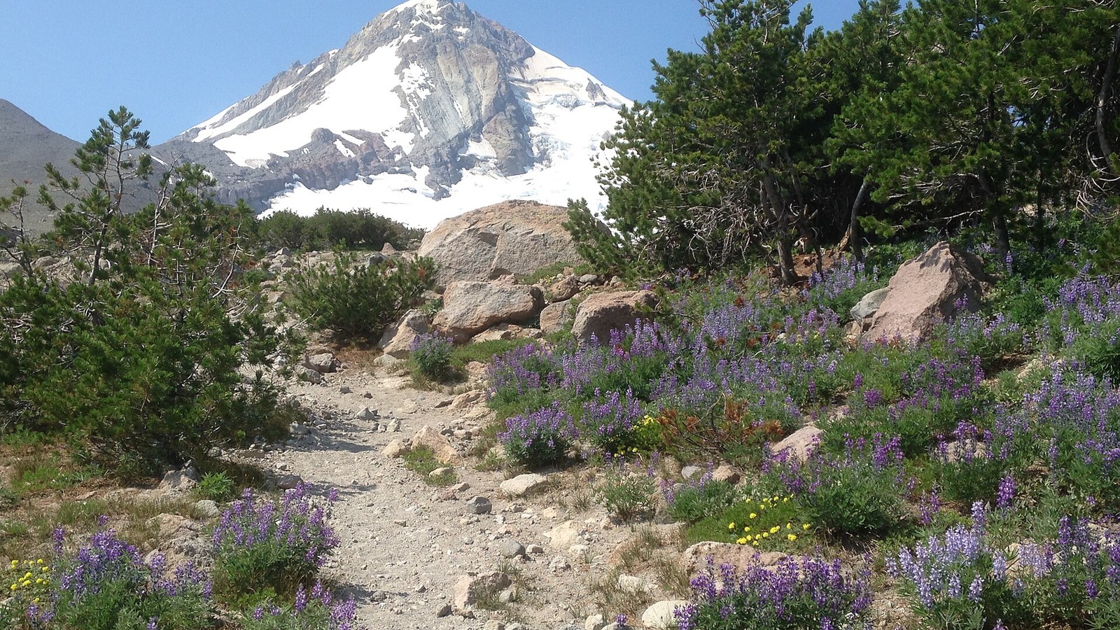
A summer trail scene highlights conditions that differ sharply from winter snow travel. Photo: U.S. Forest Service Pacific Northwest Region · Public domain · cropped and resized
Let the biggest risk determine the season
In dry summer weather, heat, smoke, fire restrictions and water supply may matter more than lingering snow. In spring and fall, road gates, ice and limited daylight often become the bigger concerns. In winter, a familiar hiking trail may turn into an unmarked snow route, while a summer parking fee may give way to Oregon Sno-Park rules. The better question is not simply whether a hike is easy, moderate or hard, but whether it suits today’s conditions.
Plan your day in this order
Start with official alerts. Then check the exact route and trailhead pages, confirm road access and parking, and review the weather and smoke forecast. Choose a legal backup outside the same closure corridor, and set a turnaround time around daylight and the route’s main hazard. Following this order makes it easier to change plans before a long drive creates pressure to continue.
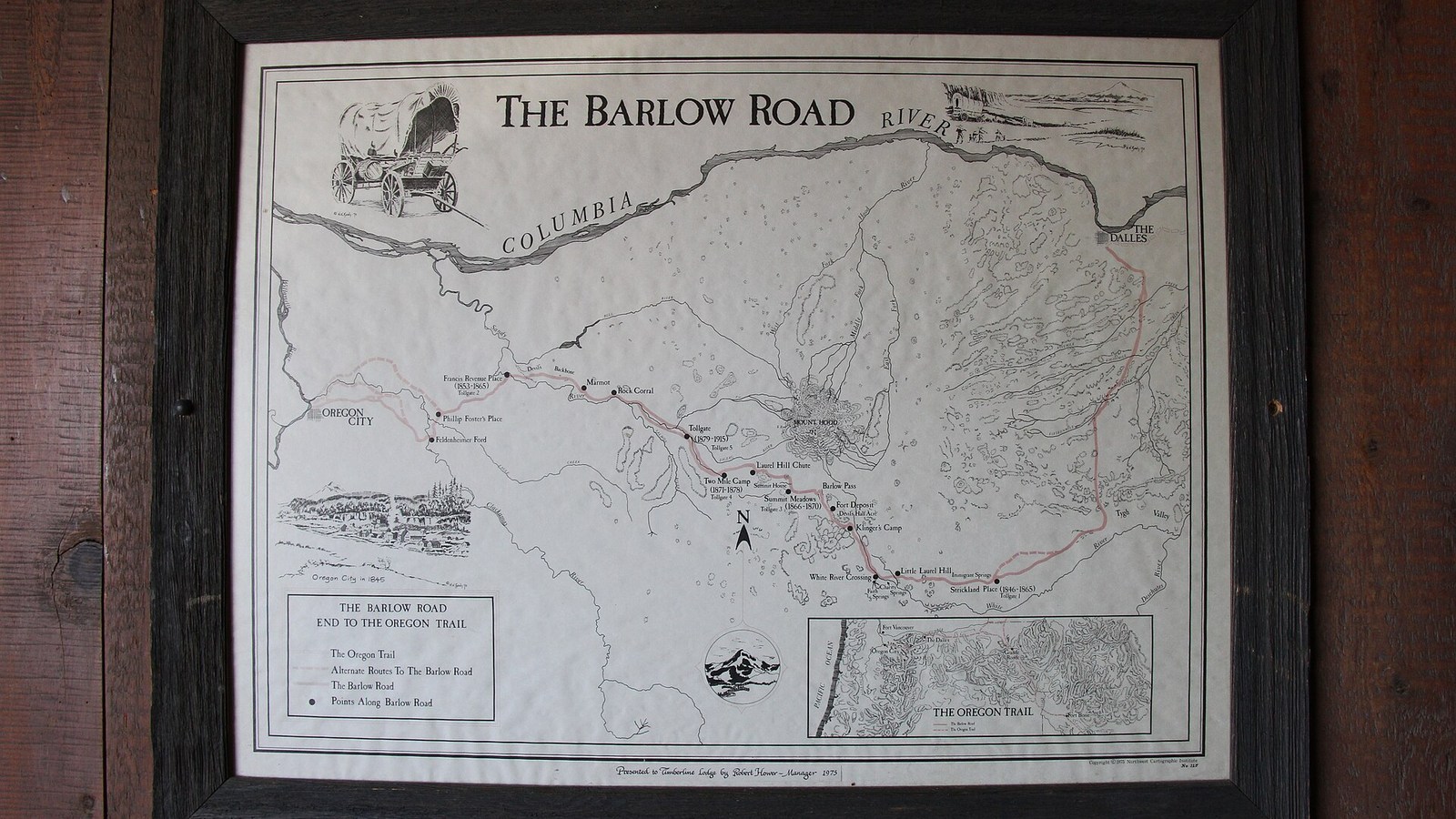
Road access and a named starting area matter more than a generic mountain view. Photo: U.S. Forest Service Pacific Northwest Region / Trent Deckard · Public domain · cropped and resized
Explore the route guides
Use the dedicated guides for Mirror Lake, Tom Dick and Harry Mountain, Ramona Falls and Trillium Lake for route stages and access details. For Tamanawas Falls, use the current Forest Service trailhead page and Grasshopper Fire closure map; nearby areas remain closed.
The Salmon River Trail comparison explains why two similarly named trails in Mount Hood National Forest require different planning.
Verification links: Mount Hood National Forest alerts · Mount Hood conditions · Mount Hood hiking opportunities
Sources and last checked
Official agency pages are the authority for closures, access, fees and rules. Supplemental organizations are used only for clearly labeled planning estimates. This guide is based on published sources and does not claim a firsthand hike. Recheck all time-sensitive details on the publication date and again before travel.
Last checked: August 24, 2026. Review the page whenever an alert, fire restriction, road or gate status, fee, permit, seasonal rule, trail repair or official map changes.
- Mount Hood National Forest alerts
- Mount Hood conditions
- Mount Hood hiking opportunities
- Mount Hood passes
Photo and graphic credits
West Face, Mount Hood, OR 9-1-13 (9712634084).jpg — inkknife_2000 (7.5 million views +), CC BY-SA 2.0. · Wildflowers along Trail, Mt Hood National Forest (22827903153).jpg — U.S. Forest Service- Pacific Northwest Region, Public domain. · Barlow Road, End to the Oregon Trail, Timberline Lodge – Mt. Hood National Forest. Photos by Trent Deckard (42404862945).jpg — U.S. Forest Service- Pacific Northwest Region, Public domain.